Download:
| Tiny | 169x128 | View | Download |
| Small | 339x256 | View | Download |
| Medium | 678x512 | View | Download |
| Large | 1357x1024 | View | Download |
| Original | 3740x2821 | View | Download |
This image was acquired from
wikimedia. It was marked as Public Domain or CC0 and is free to use. To verify, go to the source and check the information there.
Looking for more info about this image?
Try a Google Reverse Image Search for it.
Try a Google Reverse Image Search for it.
Keywords from Image Description:
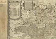
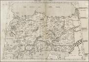
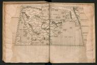
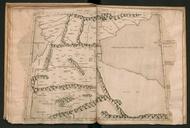
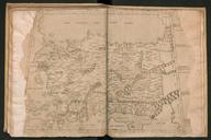
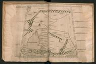
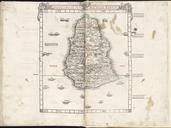
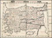
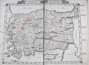
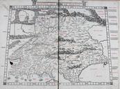
Asiae Tab. en The First Asian Map depicting the Roman provinces and Romanera divisions of Anatolia from the second printing of Gerard Mercator's edition of Ptolemy's Geography hjbmaps Harlan Berk Ptolemy other versions PDold maps Maps in Latin Ptolemy's st Asian Map Maps by Gerardus Mercator Geography Mercator Asia

