
Related Images


Download:
| Tiny | 169x128 | View | Download |
| Small | 338x256 | View | Download |
| Medium | 676x512 | View | Download |
| Large | 1353x1024 | View | Download |
| Original | 3812x2885 | View | Download |
This image was acquired from
wikimedia. It was marked as Public Domain or CC0 and is free to use. To verify, go to the source and check the information there.
Looking for more info about this image?
Try a Google Reverse Image Search for it.
Try a Google Reverse Image Search for it.
Keywords from Image Description:
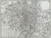
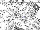
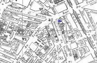
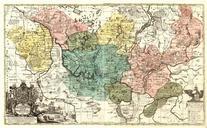
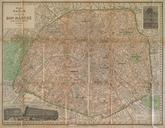
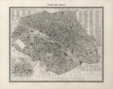
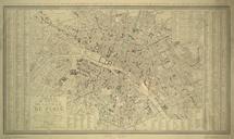
Atlas administratif de Paris Plan lav topographiquement Princeton University. en Atlas administratif de Paris Paris Lottin de StGermain Marquand Art Library Seventeen copperplate maps fourteen with added color each cm Each map was printed with blank round title cartouche in the upper right to be pasted over with different