
Related Images


Download:
| Tiny | 167x128 | View | Download |
| Small | 335x256 | View | Download |
| Medium | 670x512 | View | Download |
| Large | 1340x1024 | View | Download |
| Original | 5500x4202 | View | Download |
This image was acquired from
wikimedia. It was marked as Public Domain or CC0 and is free to use. To verify, go to the source and check the information there.
Looking for more info about this image?
Try a Google Reverse Image Search for it.
Try a Google Reverse Image Search for it.
Keywords from Image Description:
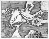
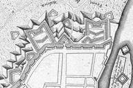
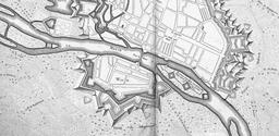
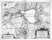
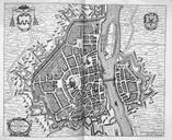
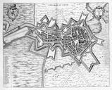
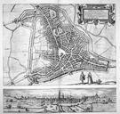
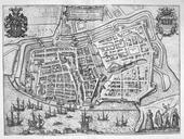
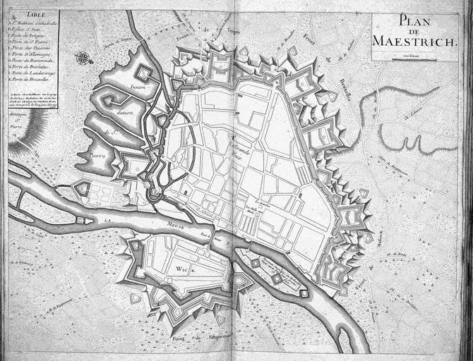
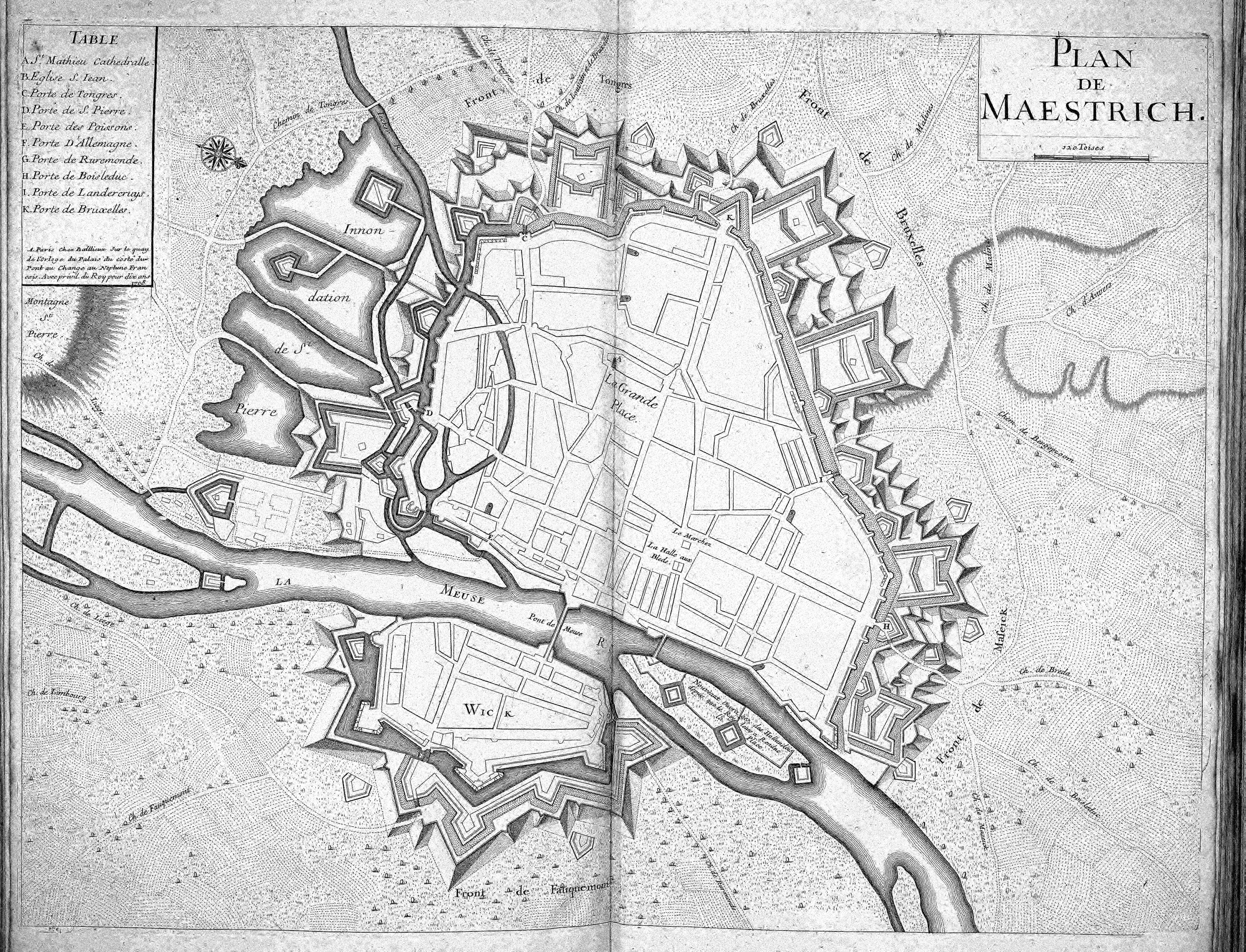
Atlas BeudekerCE XPLAN DE MAESTRICH.jpeg Na de inname van de stad in door Frederik Hendrik was Maastricht uitgebouwd tot een sterke vesting op de grens met de door Spanje beheerste Zuidelijke Nederlanden Dit militaire aspect komt goed tot uiting in deze plattegrond van de stad die in in Parijs werd uitgegeven Dat juist in Parijs