
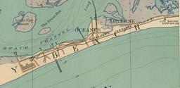
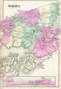
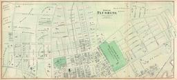
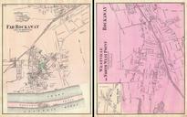
Related Images


Download:
| Tiny | 177x128 | View | Download |
| Small | 354x256 | View | Download |
| Medium | 709x512 | View | Download |
| Large | 1419x1024 | View | Download |
| Original png | 4807x3468 | View | Download |
| Original as jpg | 4807x3468 | View | Download |
This image was acquired from
wikimedia. It was marked as Public Domain or CC0 and is free to use. To verify, go to the source and check the information there.
Looking for more info about this image?
Try a Google Reverse Image Search for it.
Try a Google Reverse Image Search for it.
Keywords from Image Description:
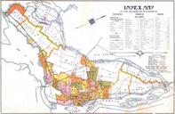
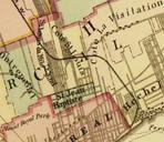
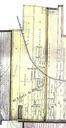
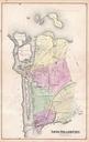
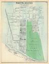
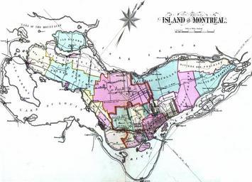
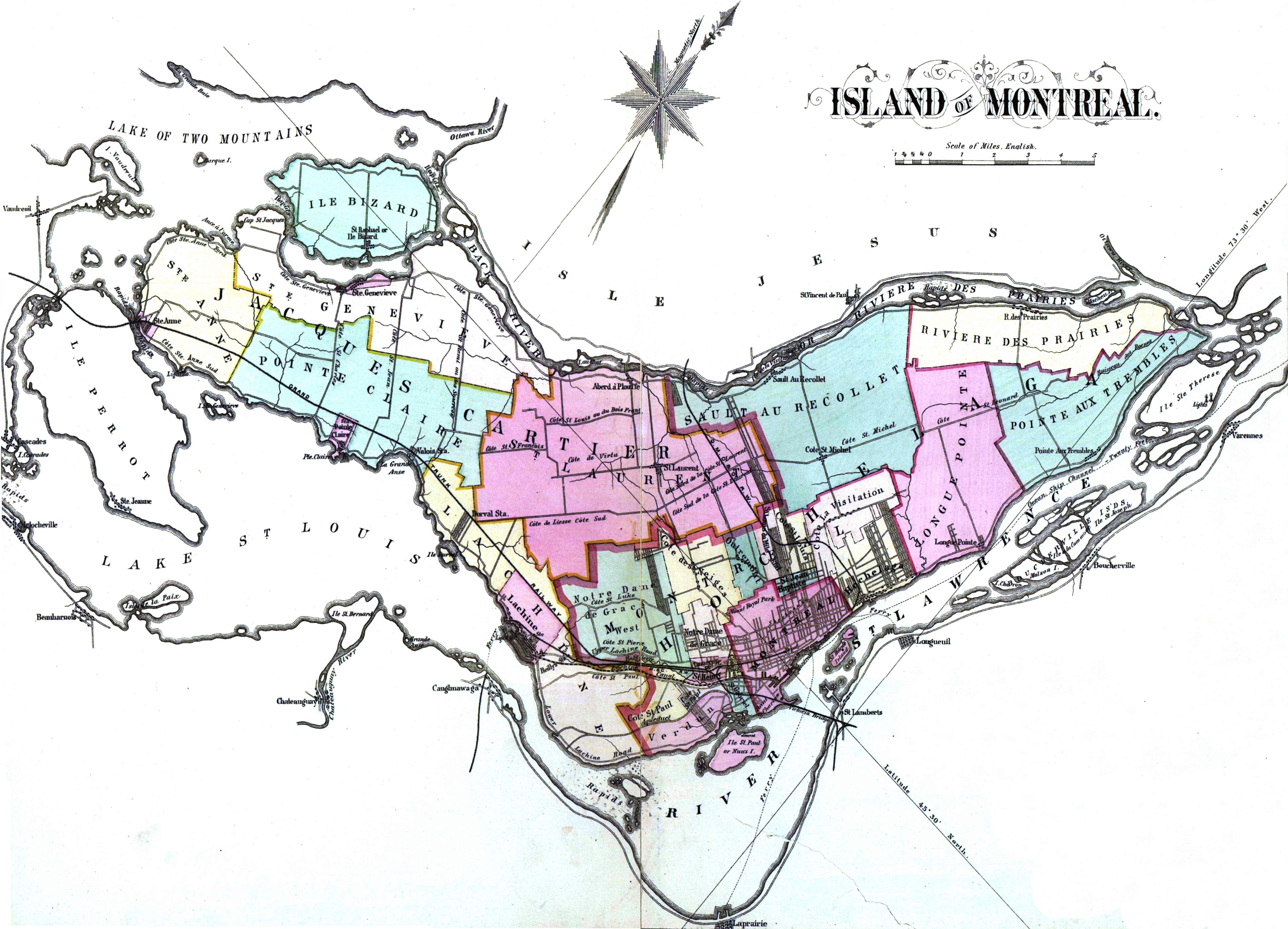
Atlas of the city and island of Montreal. en Atlas of the city and island of Montreal including the counties of Jacques Cartier and Hochelaga from actual surveys based upon the cadastral plans deposited in the office of the Department of Crown Lands fr atlas cartes en coul cm Colori la main banq qc ca xsp id Henry Whitmer