
Related Images

Download:
| Tiny | 283x128 | View | Download |
| Small | 566x256 | View | Download |
| Medium | 1133x512 | View | Download |
| Large | 2266x1024 | View | Download |
| Original | 5000x2259 | View | Download |
This image was acquired from
wikimedia. It was marked as Public Domain or CC0 and is free to use. To verify, go to the source and check the information there.
Looking for more info about this image?
Try a Google Reverse Image Search for it.
Try a Google Reverse Image Search for it.
Keywords from Image Description:
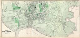
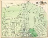
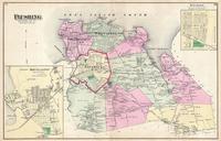
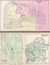
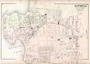
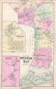
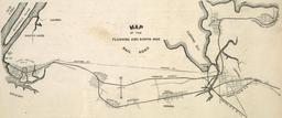
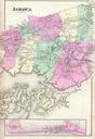
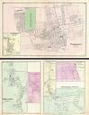
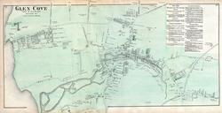
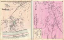
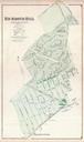
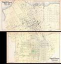
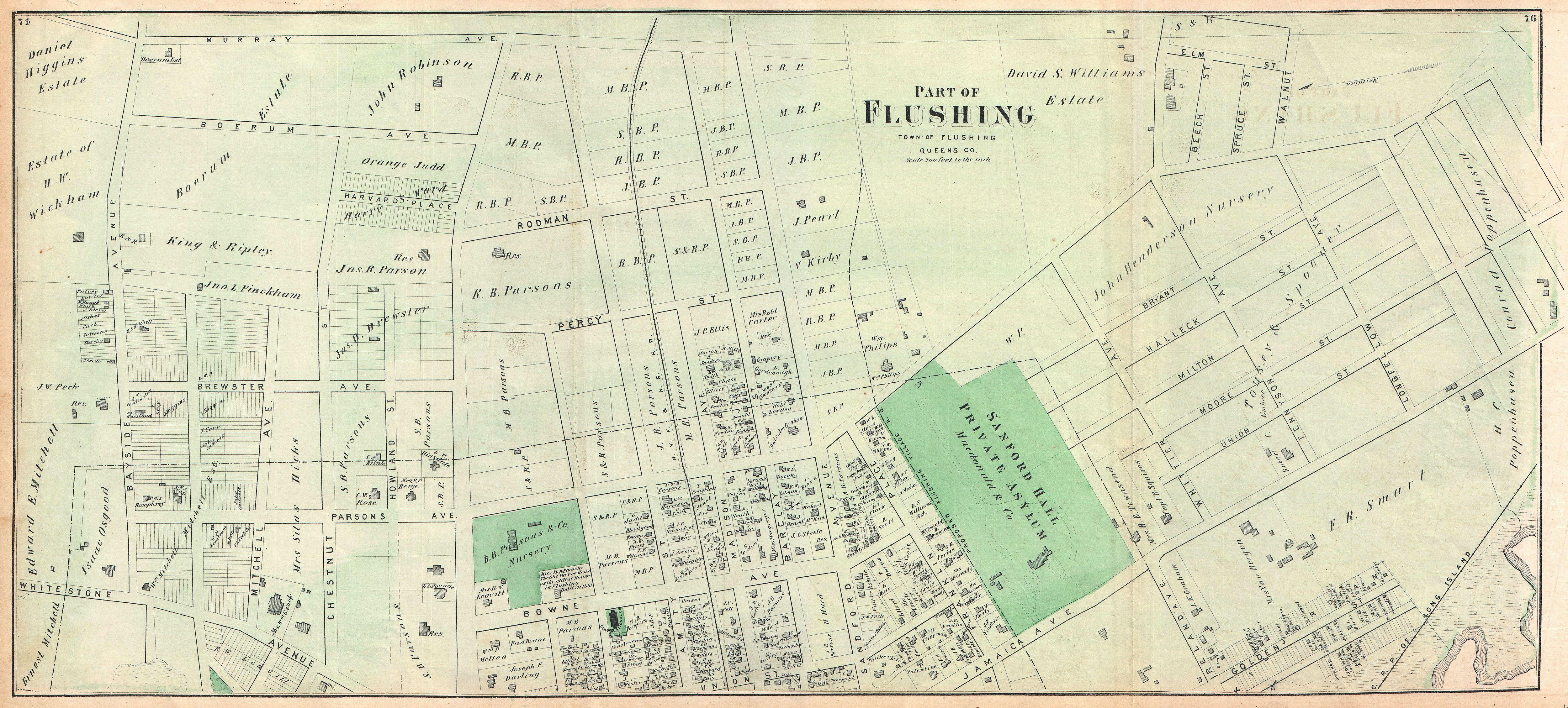
Beers Map of Part of Flushing Queens New York City Geographicus Flushingbeers. scarce example of Fredrick Beers map parts of Queens New York City Published in Oriented to the east Roughly covers Boerum Avenue Brewster Avenue Parsons Avenue Sanford Avenue Jamaica Avenue Ireland Avenue Whittier Avenue Tennyson Avenue and Longfellow