
Related Images


Download:
| Tiny | 172x128 | View | Download |
| Small | 345x256 | View | Download |
| Medium | 690x512 | View | Download |
| Original | 1000x742 | View | Download |
This image was acquired from
wikimedia. It was marked as Public Domain or CC0 and is free to use. To verify, go to the source and check the information there.
Looking for more info about this image?
Try a Google Reverse Image Search for it.
Try a Google Reverse Image Search for it.
Keywords from Image Description:
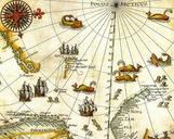
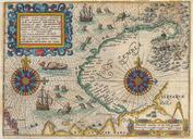
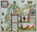
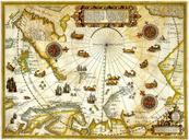
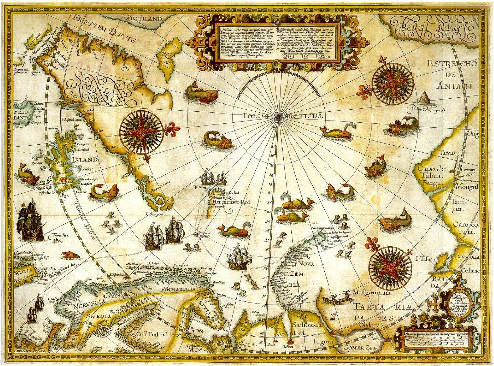
Barentsz Full Map. map of the hree Arctic voyages by Willem Barentsz Delineatio cartae trium navigantium per Bataves ad Septentrionalem plagam Norvegiae Moscoviae et novae Semblae Autore Wilhelmo Bernardo oshermaps org php no historicmapworks immediate source unknown uploaded Willem Barentsz Wilhelmus Bernardus Public