
Related Images
Download:
| Tiny | 162x128 | View | Download |
| Small | 325x256 | View | Download |
| Medium | 650x512 | View | Download |
| Large | 1300x1024 | View | Download |
| Original | 4364x3436 | View | Download |
This image was acquired from
wikimedia. It was marked as Public Domain or CC0 and is free to use. To verify, go to the source and check the information there.
Looking for more info about this image?
Try a Google Reverse Image Search for it.
Try a Google Reverse Image Search for it.
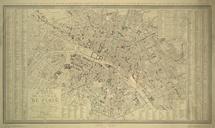
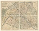
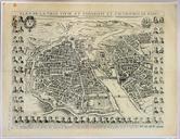
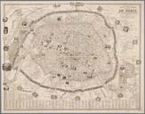
Keywords from Image Description:
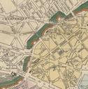
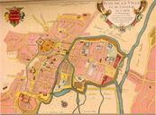
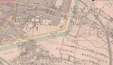
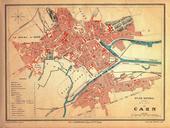
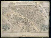
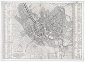
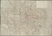
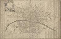
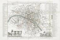
Bnard Nouveau plan illustr de la ville de Paris . Map of Paris scale Size cm Institution Vrije Universiteit object history exhibition history credit line ubvu vu nl php ppn Vrije Universiteit Amsterdam accession number PD Maps of Paris in the th century thcentury maps of Paris in Paris maps Maps of the Enceinte de Thiers