Related Images


Download:
| Tiny | 112x128 | View | Download |
| Small | 224x256 | View | Download |
| Medium | 449x512 | View | Download |
| Original | 603x687 | View | Download |
This image was acquired from
wikimedia. It was marked as Public Domain or CC0 and is free to use. To verify, go to the source and check the information there.
Looking for more info about this image?
Try a Google Reverse Image Search for it.
Try a Google Reverse Image Search for it.
Keywords from Image Description:
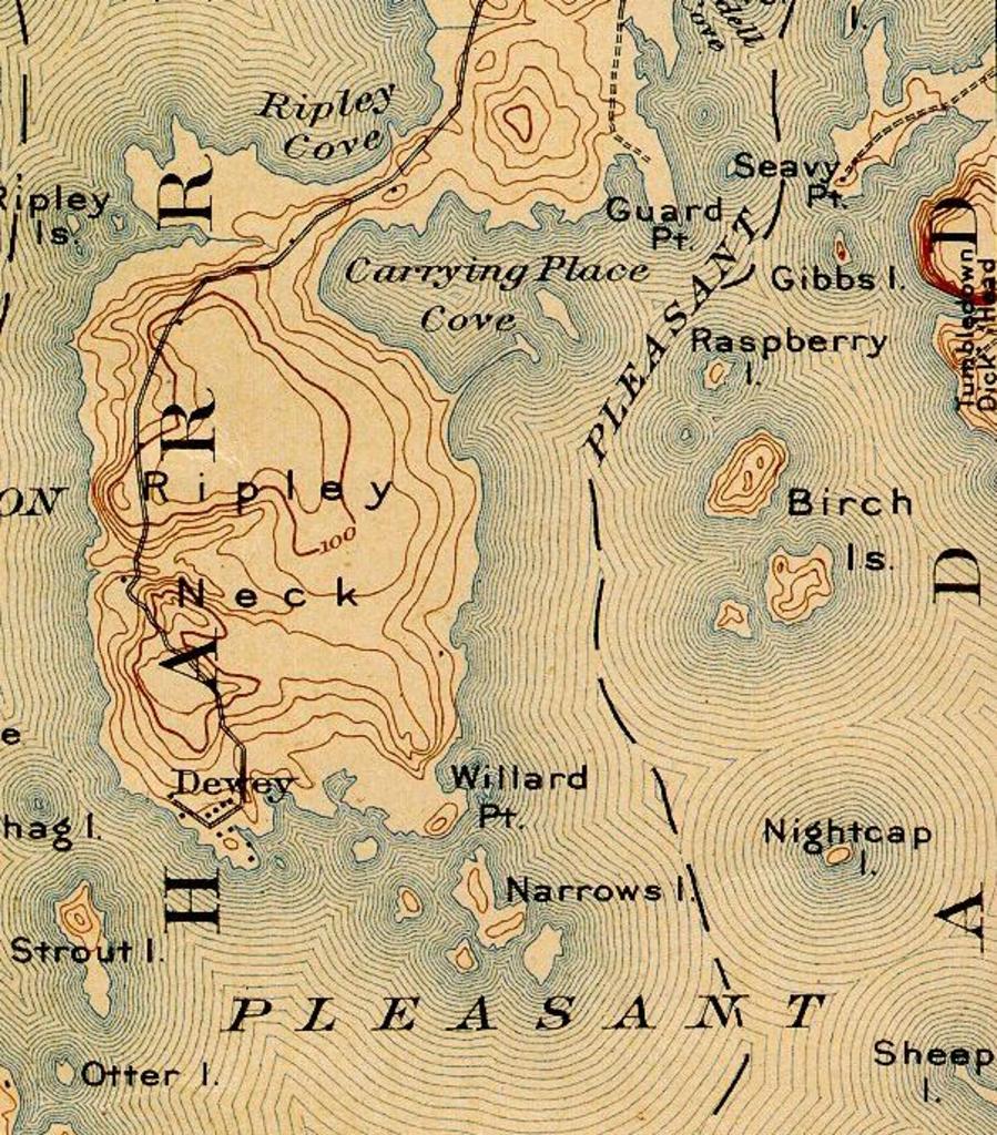
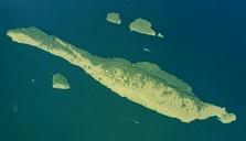
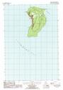
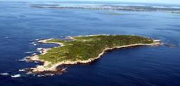
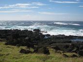
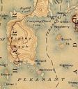
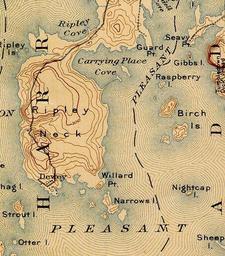
Birch Islands Maine USGS . en Excerpt of Cherryfield ME Quadrangle USGS map southeast corner showing Birch Islands in Pleasant Bay Maine unh edu htm USGS US Government work Topographic maps of the United States Maps of Maine PDUSGov