Related Images

Download:
| Tiny | 87x128 | View | Download |
| Small | 174x256 | View | Download |
| Medium | 348x512 | View | Download |
| Original | 675x992 | View | Download |
This image was acquired from
wikimedia. It was marked as Public Domain or CC0 and is free to use. To verify, go to the source and check the information there.
Looking for more info about this image?
Try a Google Reverse Image Search for it.
Try a Google Reverse Image Search for it.
Keywords from Image Description:
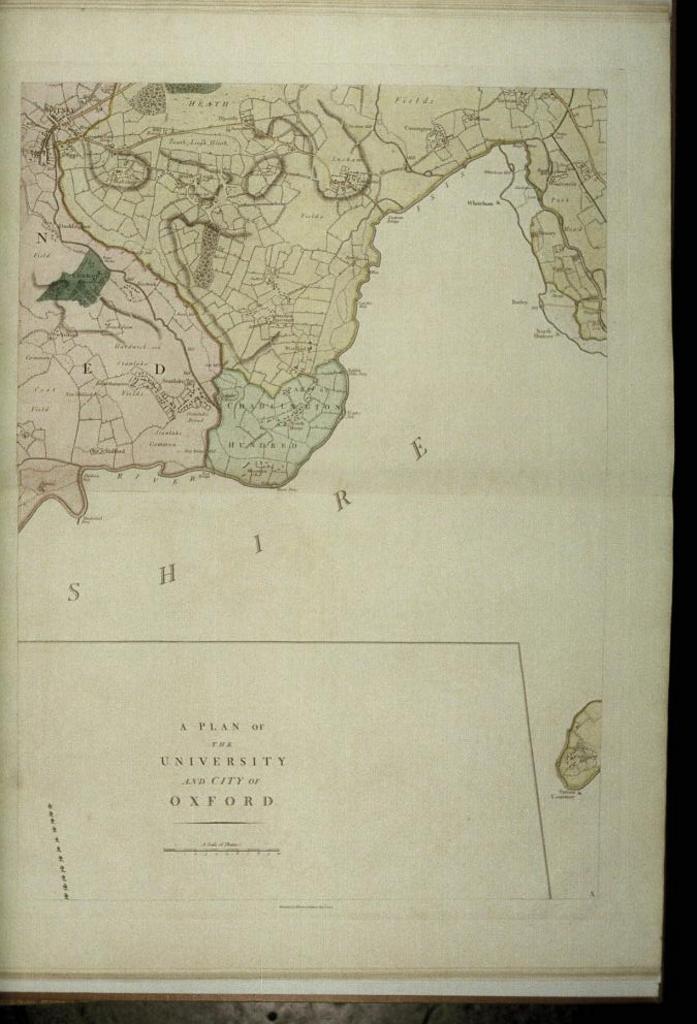
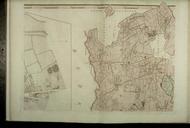
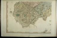
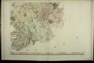
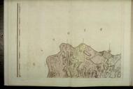
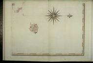
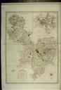
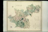
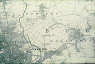
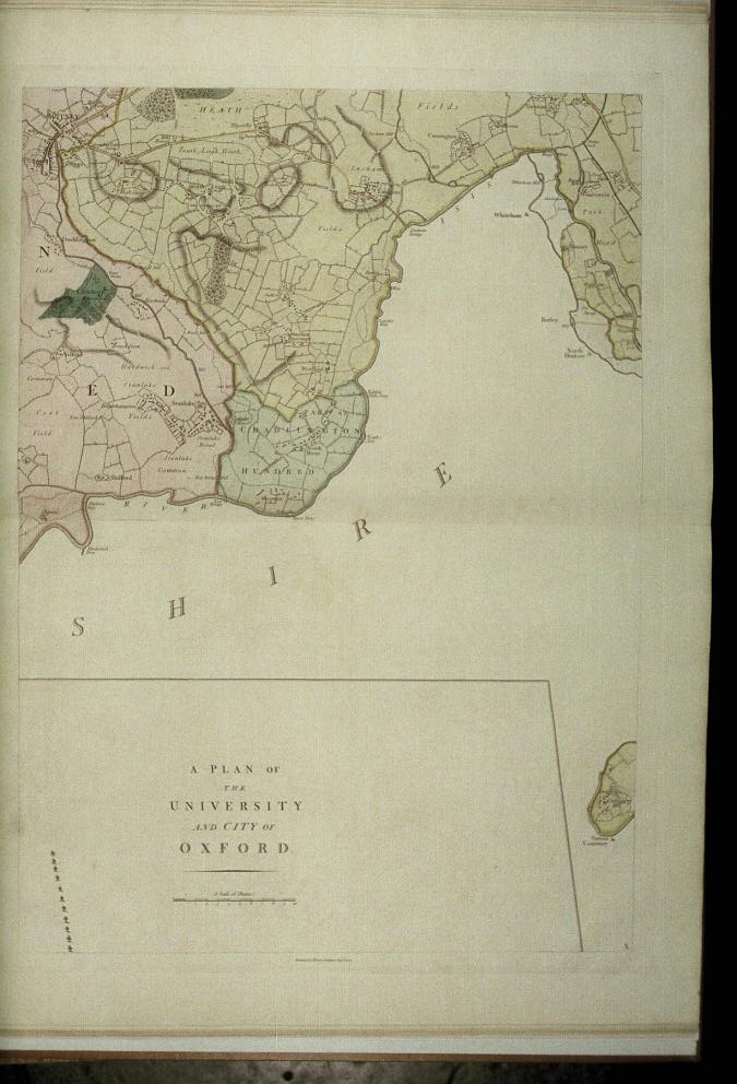
Bodleian Libraries map of the County of Oxford . Detached part of Chadlington Hundred bordering Bampton and Wootton Hundreds The scale of the Oxford city map is three chains to one inch or mm mm slide help warp map date Source filename mapsxxajy other fields other versions dPDArt PDold ccby print date Filmstrip Roll frame