Related Images


Download:
| Tiny | 87x128 | View | Download |
| Small | 174x256 | View | Download |
| Medium | 348x512 | View | Download |
| Original | 675x992 | View | Download |
This image was acquired from
wikimedia. It was marked as Public Domain or CC0 and is free to use. To verify, go to the source and check the information there.
Looking for more info about this image?
Try a Google Reverse Image Search for it.
Try a Google Reverse Image Search for it.
Keywords from Image Description:
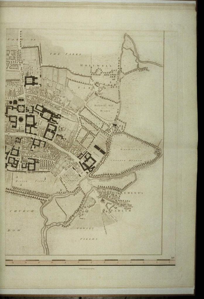
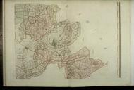
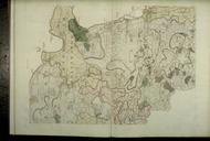
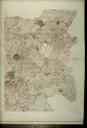
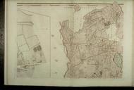
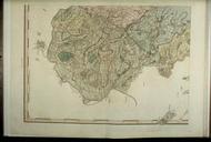
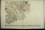
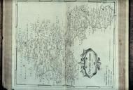
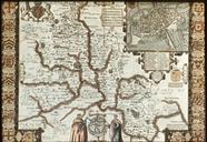
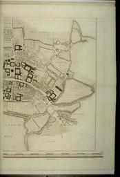
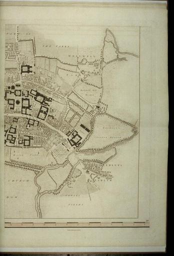
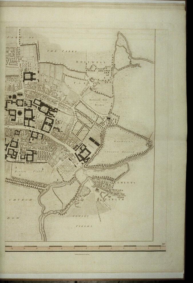
Bodleian Libraries map of the County of Oxford . Closeup of inset map of the city of Oxford with High Street colleges and the Botanic Garden and edging the streets from the north Holywell Park Mill Meadow Magdalen College Meadow St Clement's and Cowley Fields mm mm slide help warp map date Source filename mapsxxakc other fields