
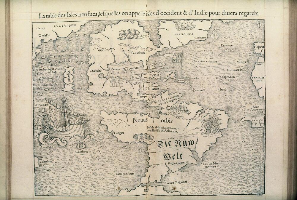
Related Images
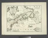
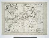

Download:
| Tiny | 189x128 | View | Download |
| Small | 379x256 | View | Download |
| Medium | 758x512 | View | Download |
| Original | 1000x675 | View | Download |
This image was acquired from
wikimedia. It was marked as Public Domain or CC0 and is free to use. To verify, go to the source and check the information there.
Looking for more info about this image?
Try a Google Reverse Image Search for it.
Try a Google Reverse Image Search for it.
Keywords from Image Description:
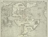
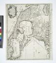
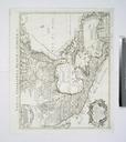
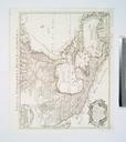
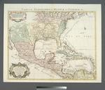
Bodleian Libraries Sebastian Munster La table des Isles neufues. This is the first printed map solely of the American continent from Sebastian Munster La Cosmographie Universelle mm mm slide exhibition history Filmstrip Roll frame Source filename mapsxxaat object history object type Tabula nouarum insularum quas diuersis respectibus