
Related Images


Download:
| Tiny | 147x128 | View | Download |
| Small | 295x256 | View | Download |
| Medium | 590x512 | View | Download |
| Large | 1180x1024 | View | Download |
| Original | 6470x5610 | View | Download |
This image was acquired from
wikimedia. It was marked as Public Domain or CC0 and is free to use. To verify, go to the source and check the information there.
Looking for more info about this image?
Try a Google Reverse Image Search for it.
Try a Google Reverse Image Search for it.
Keywords from Image Description:
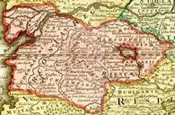
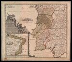
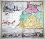
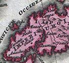
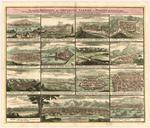
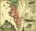
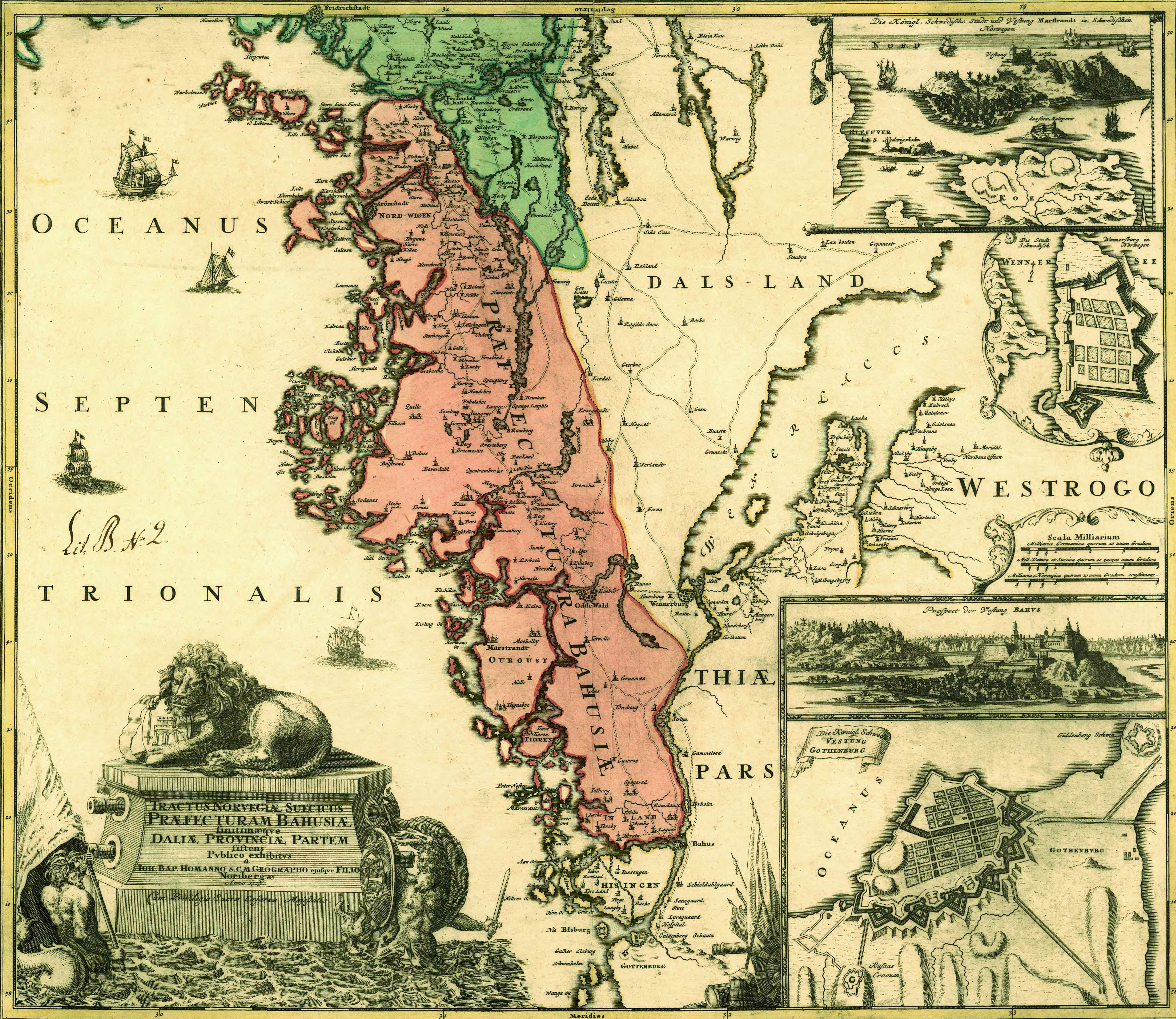
Bohusln. en Map covering Bohusln and western part of Sweden made by Johann Baptist Homann and published after his death sv Karta ver Bohusln och delar av vstsverige med planer av Gteborg Bohus Vnersborg och Marstrand Utfrd av den tyske kartografen Johann Baptist Homann och publicerad efter hans dd Krigsarkivet Sverige Topografiska