Related Images


Download:
| Tiny | 149x128 | View | Download |
| Small | 298x256 | View | Download |
| Medium | 597x512 | View | Download |
| Large | 1195x1024 | View | Download |
| Original | 5056x4329 | View | Download |
This image was acquired from
wikimedia. It was marked as Public Domain or CC0 and is free to use. To verify, go to the source and check the information there.
Looking for more info about this image?
Try a Google Reverse Image Search for it.
Try a Google Reverse Image Search for it.
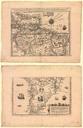
Keywords from Image Description:
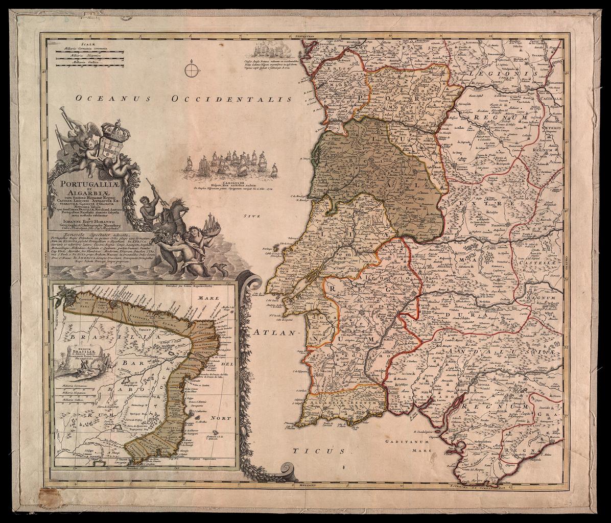
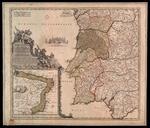
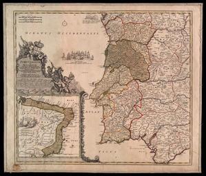
Portugalliae et Algarbiae cum finitimis hispamae Regnis Castilliae Legionis Ondalusiae Extrematurae Galliciae gronatae Meridional Tabula qua simul littore Brailiae Meridional Americae Portugallicae Majestalis dominio subjecta. en Mapa de incios do sculo XVIII de Portugal do Brasil pt Map from the beginnings of the century of Portugal