
Related Images

Download:
| Tiny | 173x128 | View | Download |
| Small | 347x256 | View | Download |
| Medium | 694x512 | View | Download |
| Large | 1389x1024 | View | Download |
| Original | 1912x1409 | View | Download |
This image was acquired from
wikimedia. It was marked as Public Domain or CC0 and is free to use. To verify, go to the source and check the information there.
Looking for more info about this image?
Try a Google Reverse Image Search for it.
Try a Google Reverse Image Search for it.
Keywords from Image Description:
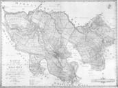
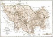
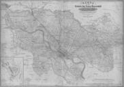
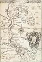
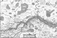
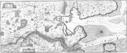
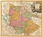
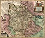
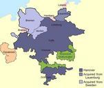
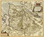
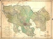
Bremen Territory coloured. en Map of the territory of the free imperial city of Bremen in The walled city of Bremen proper is the brownish area near the center of the map The map published by Heineken in is based on trigonometric survey The map is titled Map of the territory of the Imperial and Hanseatic city of Bremen including