
Related Images
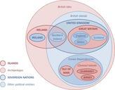


Download:
| Tiny | 122x128 | View | Download |
| Small | 244x256 | View | Download |
| Medium | 488x512 | View | Download |
| Large | 977x1024 | View | Download |
| Original | 1076x1127 | View | Download |
This image was acquired from
wikimedia. It was marked as Public Domain or CC0 and is free to use. To verify, go to the source and check the information there.
Looking for more info about this image?
Try a Google Reverse Image Search for it.
Try a Google Reverse Image Search for it.
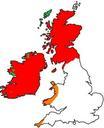
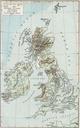
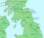
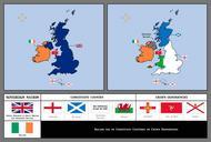
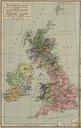
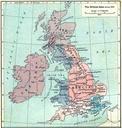
Keywords from Image Description:
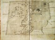
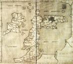
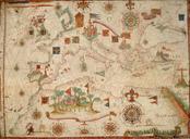
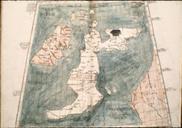
British isles . Map of the British Isles claiming to be circa AD PCL britishisles historical Original cite book Historical Atlas William Shepherd New York Henry Holt and Company Creator William Shepherd PDUSnot renewed Old maps of the British Isles Maps of AngloSaxon England Maps showing thcentury history Maps of the history