Related Images


Download:
| Tiny | 79x128 | View | Download |
| Small | 159x256 | View | Download |
| Medium | 318x512 | View | Download |
| Large | 637x1024 | View | Download |
| Original png | 1101x1768 | View | Download |
| Original as jpg | 1101x1768 | View | Download |
This image was acquired from
wikimedia. It was marked as Public Domain or CC0 and is free to use. To verify, go to the source and check the information there.
Looking for more info about this image?
Try a Google Reverse Image Search for it.
Try a Google Reverse Image Search for it.
Keywords from Image Description:
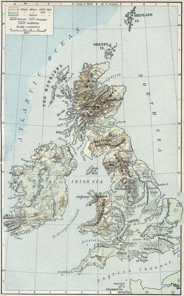
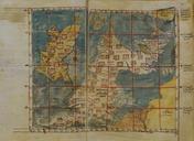
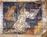
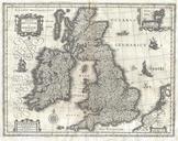
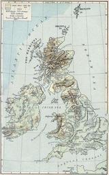
Physical map british isles ref . Scan from Historical Atlas by William Shepherd New York Henry Holt and Company ed Original image at the lib utexas edu PerryCastaeda Library Map Collection at the en University of Texas at Austin website lib utexas edu From the FAQ lib utexas edu html Most of the maps scanned by the University