Related Images


Download:
| Tiny | 148x128 | View | Download |
| Small | 297x256 | View | Download |
| Medium | 594x512 | View | Download |
| Large | 1188x1024 | View | Download |
| Original | 1822x1570 | View | Download |
This image was acquired from
wikimedia. It was marked as Public Domain or CC0 and is free to use. To verify, go to the source and check the information there.
Looking for more info about this image?
Try a Google Reverse Image Search for it.
Try a Google Reverse Image Search for it.
Keywords from Image Description:
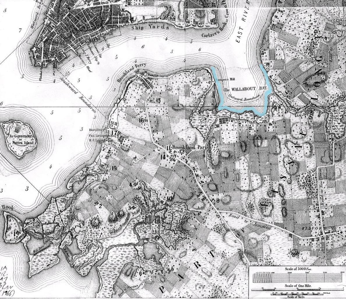
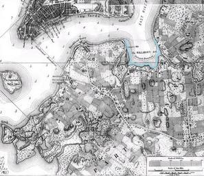
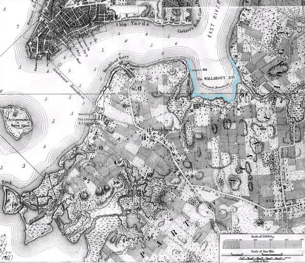
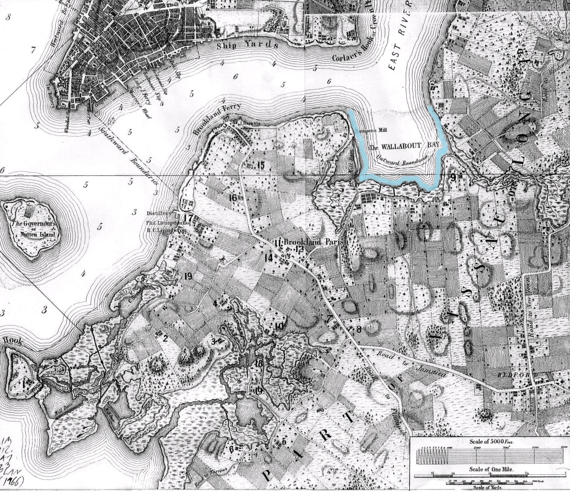
BrooklynMap Wallabout Bay. Map of Brooklyn NY made in with Wallabout Bay outlines stevemorse org Vill Bklyn html Bernard Ratzer marked by Beyond My Ken July UTC px PDold Bernard Ratzer maps Old maps of New York City History of Brooklyn New York City in the s