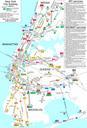
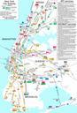
Related Images


This image was acquired from
wikimedia. It was marked as Public Domain or CC0 and is free to use. To verify, go to the source and check the information there.
Looking for more info about this image?
Try a Google Reverse Image Search for it.
Try a Google Reverse Image Search for it.
Keywords from Image Description:
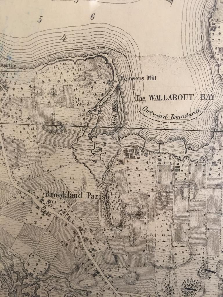
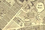
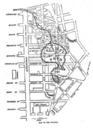
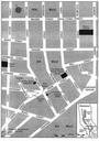
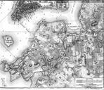
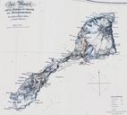
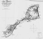
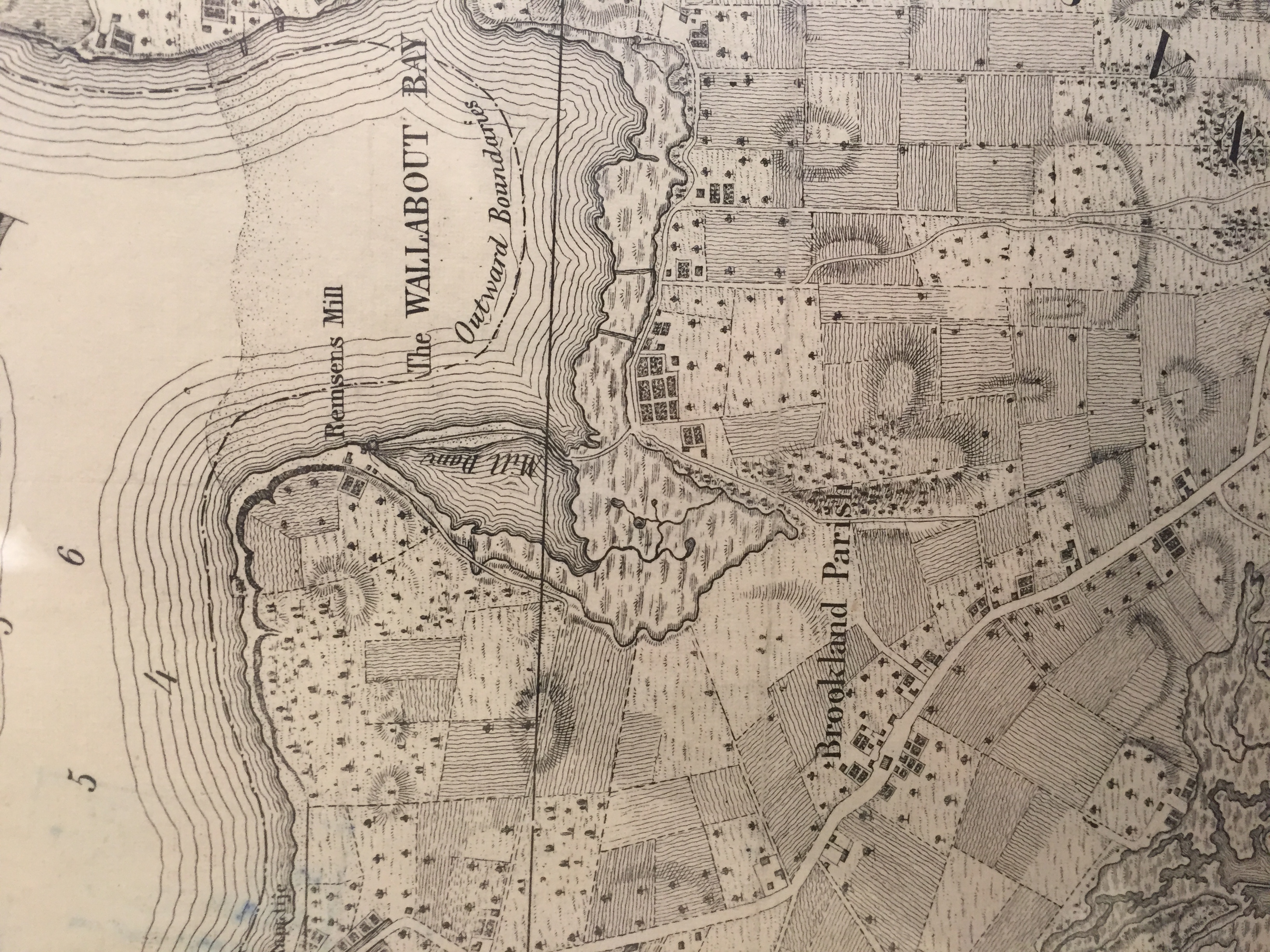
Ratzer fasimile NYC map . en Historical map from was taken from New York Public Library Historical Maps section Represent the area of east river side of Brooklyn and Wallabout Bay New York Public Library Historical Maps Ratzer fasimile NYC map other versions heading PDUSGov Maps showing history Uploaded with