Related Images


Download:
| Tiny | 101x128 | View | Download |
| Small | 203x256 | View | Download |
| Medium | 406x512 | View | Download |
| Large | 813x1024 | View | Download |
| Original | 2764x3480 | View | Download |
This image was acquired from
wikimedia. It was marked as Public Domain or CC0 and is free to use. To verify, go to the source and check the information there.
Looking for more info about this image?
Try a Google Reverse Image Search for it.
Try a Google Reverse Image Search for it.
Keywords from Image Description:
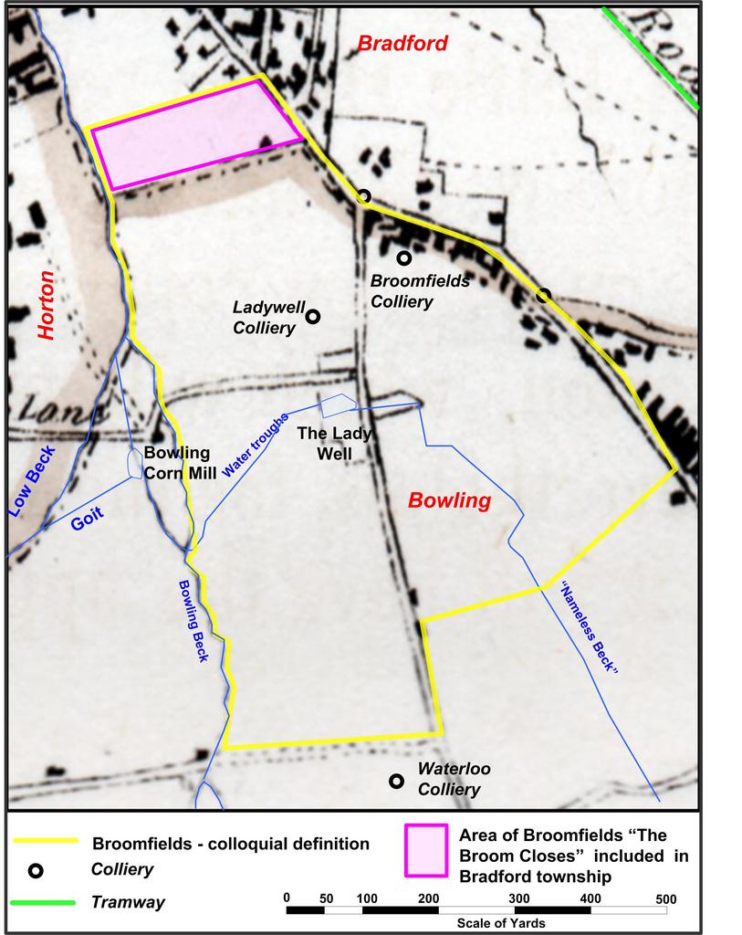
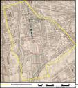
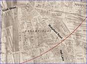
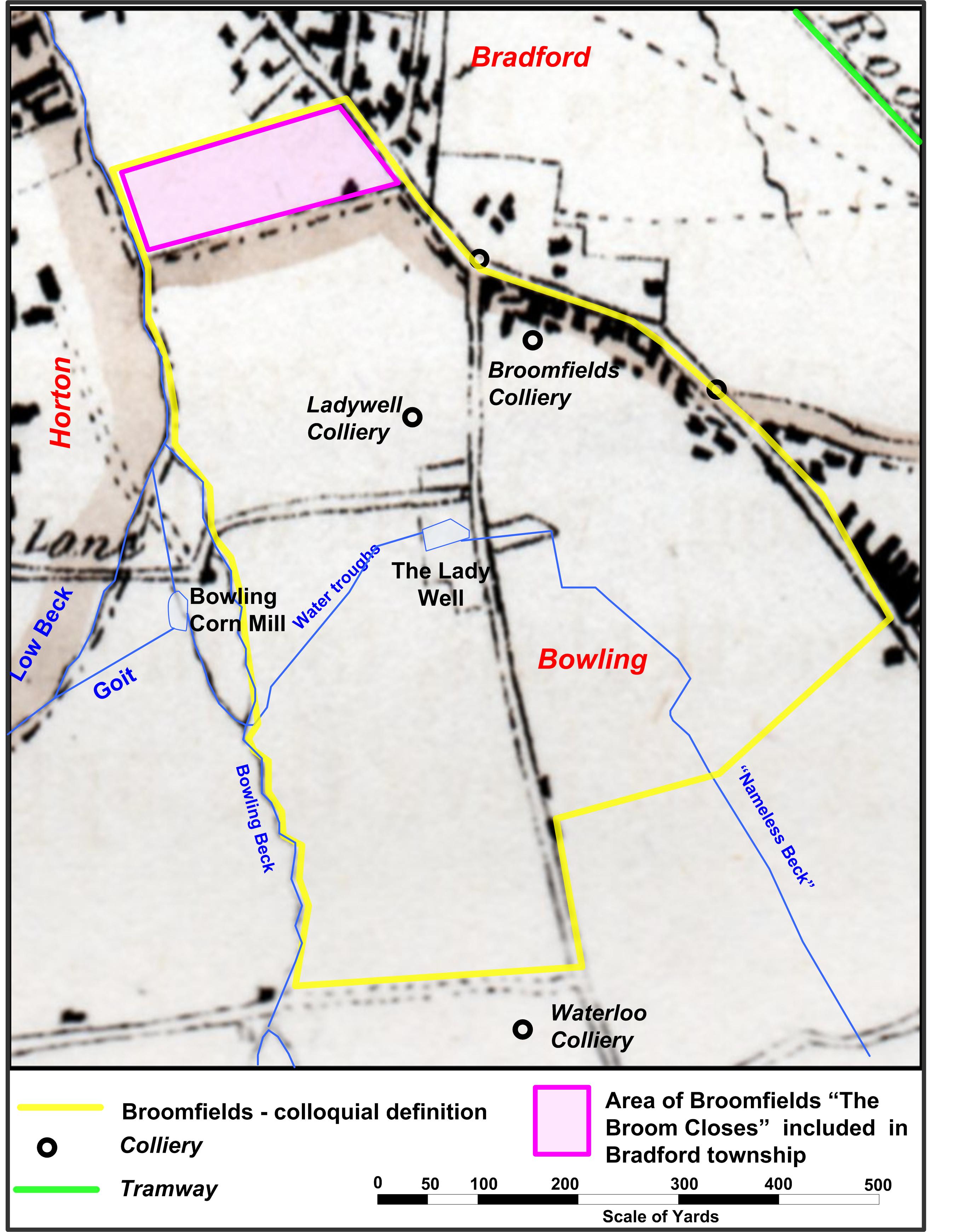
Broomfields map . Extract from map of proposed parliamentary borough of Bradford with Broomfields boundaries overdrawn The map was prepared for parliamentary committee Houses of Parliament London UK working on the Reform Bill Original publication papers relating to the parliamentary reform billbr Immediate source Secondhand bookshop