
Related Images


Download:
| Tiny | 123x128 | View | Download |
| Small | 246x256 | View | Download |
| Medium | 492x512 | View | Download |
| Large | 984x1024 | View | Download |
| Original | 1385x1441 | View | Download |
This image was acquired from
wikimedia. It was marked as Public Domain or CC0 and is free to use. To verify, go to the source and check the information there.
Looking for more info about this image?
Try a Google Reverse Image Search for it.
Try a Google Reverse Image Search for it.
Keywords from Image Description:
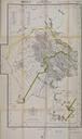
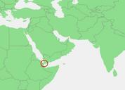
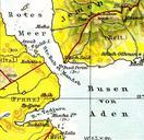
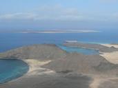
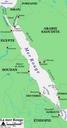
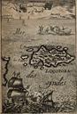
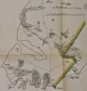
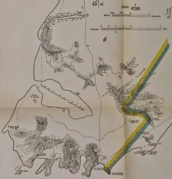
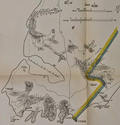
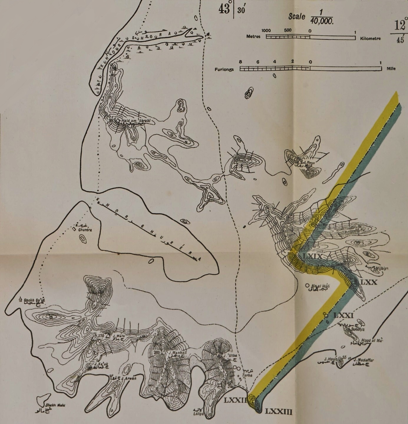
Cape Bab elMandeb AngloTurkish Demarcation Line. en Map showing the AngloTurkish demarcation line of the Cape Bab elMandeb area in Yemen also know as Sheikh Said and now generally known as Ras Menheli This separate map was part of larger map issued as an annex to the AngloTurkish Convention of June This larger map of the southwestern