Related Images
Download:
| Tiny | 287x128 | View | Download |
| Small | 575x256 | View | Download |
| Medium | 1151x512 | View | Download |
| Large | 2303x1024 | View | Download |
| Original | 5101x2268 | View | Download |
This image was acquired from
wikimedia. It was marked as Public Domain or CC0 and is free to use. To verify, go to the source and check the information there.
Looking for more info about this image?
Try a Google Reverse Image Search for it.
Try a Google Reverse Image Search for it.
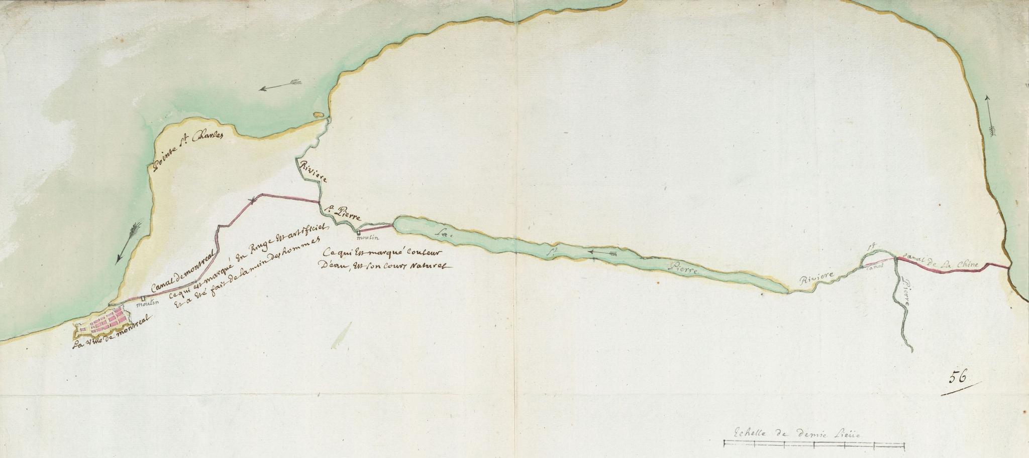
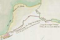
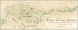
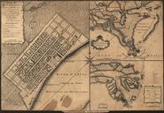
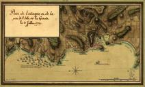
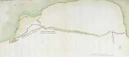
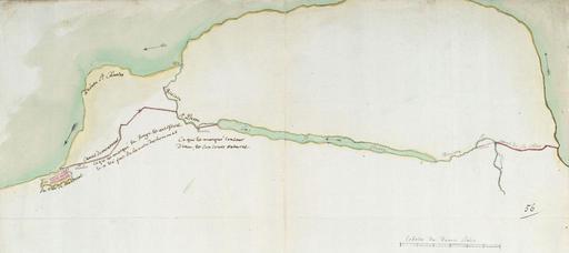
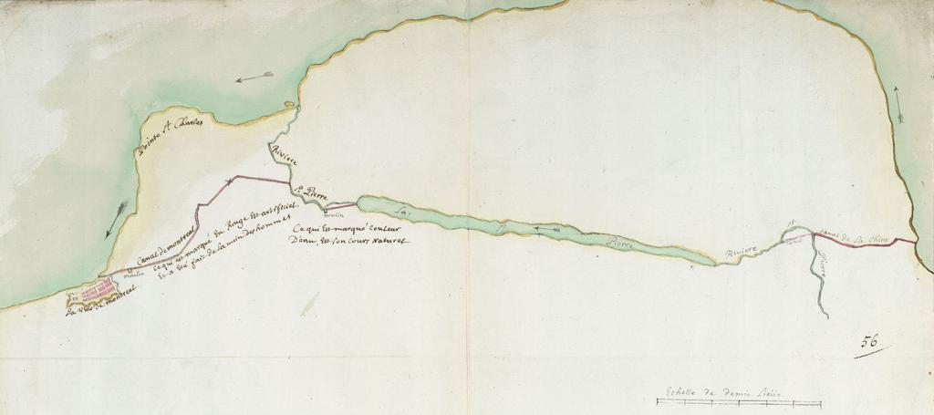
Keywords from Image Description:
Carte comprenant la Riviere et le Lac SaintPierre et la ville de Montreal. fr Plan sommaire dessin par Franois Chze canaux et moulins indication du cours du fleuve Echelle cm pour lieue Dessin la plume aquarell sur papier archivesnationales culture gouv fr id FR CAOM qid sdxq anom archivesnationales culture gouv fr Franois