Related Images


Download:
| Tiny | 189x128 | View | Download |
| Small | 379x256 | View | Download |
| Medium | 758x512 | View | Download |
| Large | 1517x1024 | View | Download |
| Original | 5052x3408 | View | Download |
This image was acquired from
wikimedia. It was marked as Public Domain or CC0 and is free to use. To verify, go to the source and check the information there.
Looking for more info about this image?
Try a Google Reverse Image Search for it.
Try a Google Reverse Image Search for it.
Keywords from Image Description:
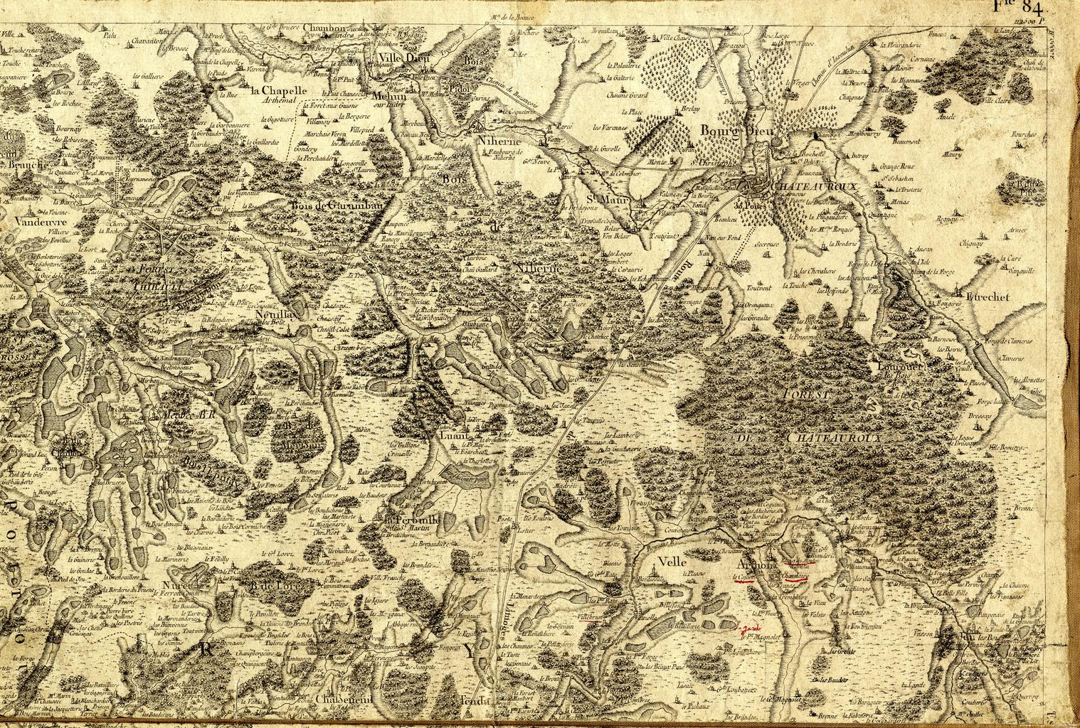
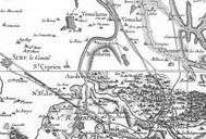
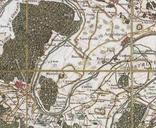
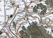
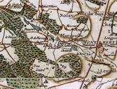
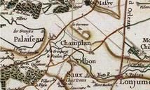
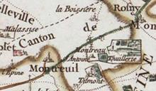
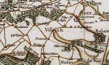
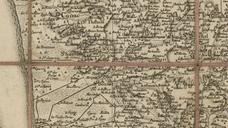
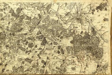
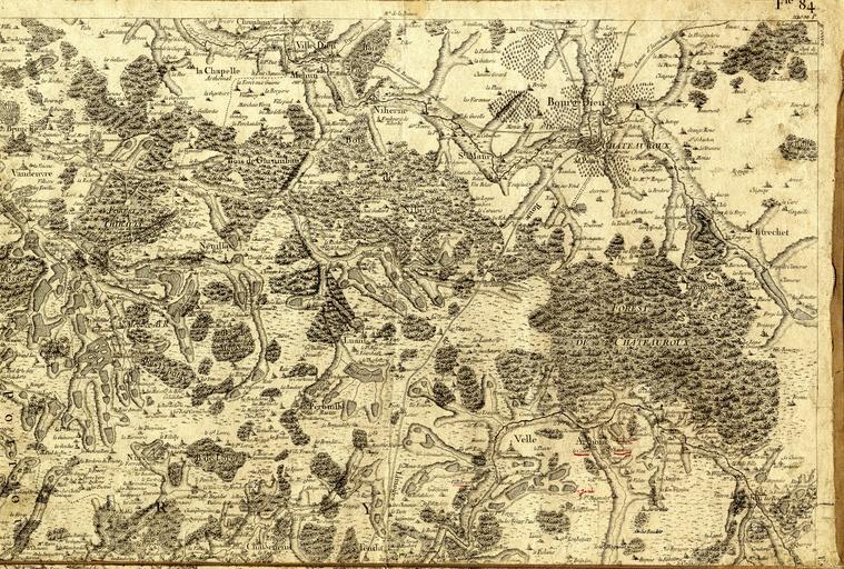
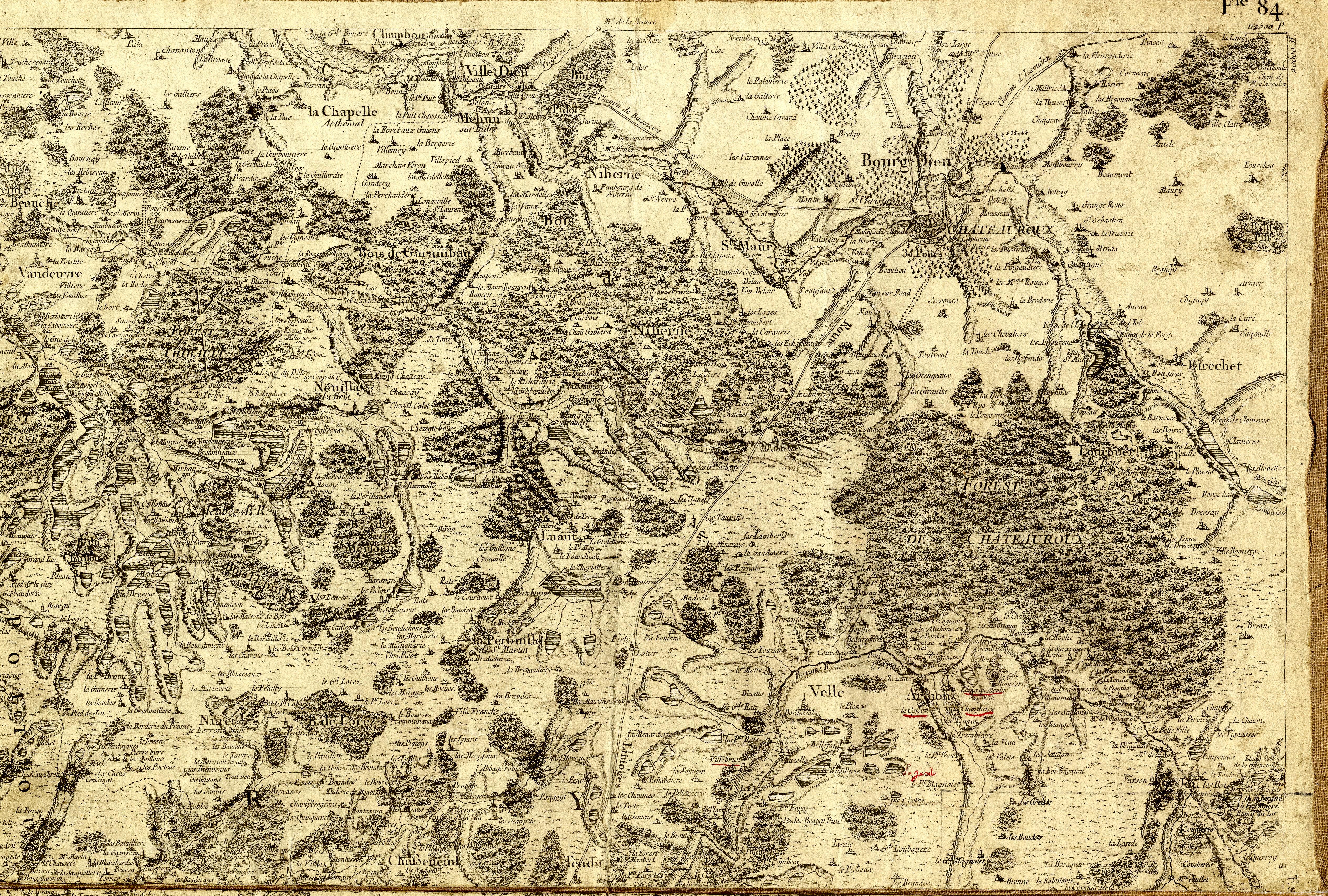
Carte de Cassini XVIIIe Territoire de la Brenne. en this is map of cassini fr Cette carte de Cassini ralise au XVIIIe sicle elle reprsente l'ensemble du territoire de la Brenne c'est un document rare l'on peut voir l'amnagement du territoire dont les tangs Archives dpartementales de l'Indre clich Baud org pl Action AgentTicketZoom