
Related Images


This image was acquired from
wikimedia. It was marked as Public Domain or CC0 and is free to use. To verify, go to the source and check the information there.
Looking for more info about this image?
Try a Google Reverse Image Search for it.
Try a Google Reverse Image Search for it.
Keywords from Image Description:
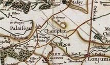
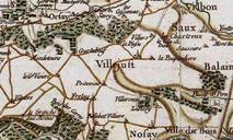
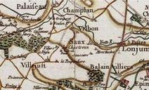
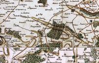
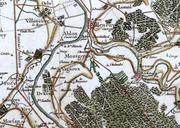
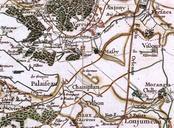
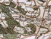
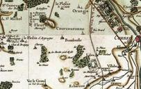
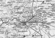
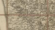
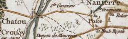
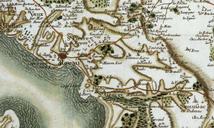
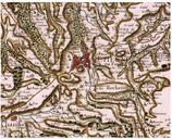
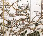
LongjumeauCassini. fr Carte de la rgion de Longjumeau au XVIIIe sicle selon Cassini Map of Longjumeau and its region from the th century prepared by CsarFranois Cassini de Thury now Essonne France Longjumeaunak krnyknek trkpe CsarFranois Cassini de Thury alapjn szzadbl ma Essonne megye Franciaorszg Base de donnes en ligne Cassini