
Related Images


Download:
| Tiny | 112x128 | View | Download |
| Small | 225x256 | View | Download |
| Medium | 450x512 | View | Download |
| Large | 900x1024 | View | Download |
| Original | 4672x5315 | View | Download |
This image was acquired from
wikimedia. It was marked as Public Domain or CC0 and is free to use. To verify, go to the source and check the information there.
Looking for more info about this image?
Try a Google Reverse Image Search for it.
Try a Google Reverse Image Search for it.
Keywords from Image Description:
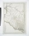
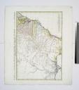
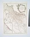
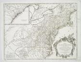
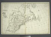
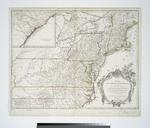
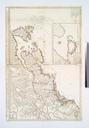
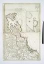
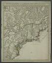
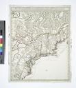
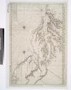
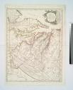
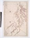
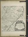
Carte de la Louisiane Maryland Virginie Caroline Georgie avec une partie de la Floride NYPL b. en National Endowment for the Humanities Grant for Access to Early Maps of the Middle Atlantic Seaboard Covers the area from South Jersey to St Augustine in Florida and from the Atlantic coast to Natchitoches La Lawrence Slaughter Collection