Related Images


Download:
| Tiny | 96x128 | View | Download |
| Small | 193x256 | View | Download |
| Medium | 386x512 | View | Download |
| Large | 772x1024 | View | Download |
| Original tiff | 4830x6404 | View | Download |
| Original as jpg | 4830x6404 | View | Download |
This image was acquired from
wikimedia. It was marked as Public Domain or CC0 and is free to use. To verify, go to the source and check the information there.
Looking for more info about this image?
Try a Google Reverse Image Search for it.
Try a Google Reverse Image Search for it.
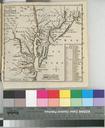
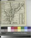
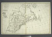
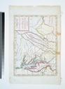
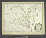
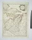
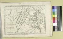
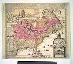
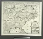
Keywords from Image Description:
Carte particuliere de Virginie Maryland Pennsilvanie la Nouvelle Iarsey orient et occidentale. NYPL. map hand col cm nypl org cfm imageID National Endowment for the Humanities Grant for Access to Early Maps of the Middle Atlantic Seaboard Note Nautical chart Note Depths shown by soundings Note Avec privilege Note Covers