
Related Images
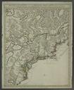
Download:
| Tiny | 145x128 | View | Download |
| Small | 291x256 | View | Download |
| Medium | 582x512 | View | Download |
| Large | 1165x1024 | View | Download |
| Original tiff | 5419x4760 | View | Download |
| Original as jpg | 5419x4760 | View | Download |
This image was acquired from
wikimedia. It was marked as Public Domain or CC0 and is free to use. To verify, go to the source and check the information there.
Looking for more info about this image?
Try a Google Reverse Image Search for it.
Try a Google Reverse Image Search for it.
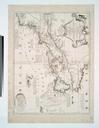
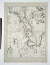
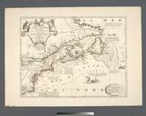
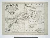
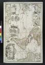
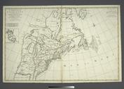
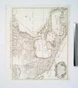
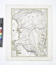
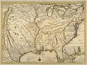
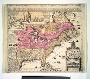
Keywords from Image Description:
Carte de la Nouvelle France se voit le cours des grandes rivieres de S. Laurens de Mississipi aujour d'hui S. Lous aux environs desquelles se trouvent les etats pas nations peuples etc NYPL. map hand col cm Maps of North America Parts Stephen Schwarzman Building The Lionel Pincus and Princess Firyal Map Division Carte de