Related Images


Download:
| Tiny | 92x128 | View | Download |
| Small | 185x256 | View | Download |
| Medium | 371x512 | View | Download |
| Large | 742x1024 | View | Download |
| Original tiff | 4272x5891 | View | Download |
| Original as jpg | 4272x5891 | View | Download |
This image was acquired from
wikimedia. It was marked as Public Domain or CC0 and is free to use. To verify, go to the source and check the information there.
Looking for more info about this image?
Try a Google Reverse Image Search for it.
Try a Google Reverse Image Search for it.
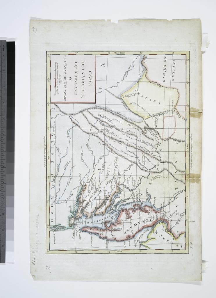
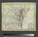
Keywords from Image Description:
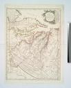
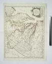
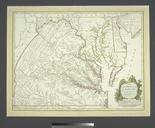
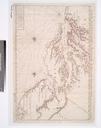
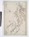
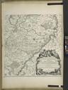
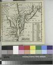
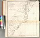
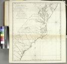
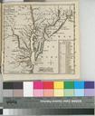
Carte de la Virginie du Maryland et de l'etat de Delaware. NYPL. map hand col cm Lawrence Slaughter Collection of English maps charts globes books and atlases Charts and maps Stephen Schwarzman Building The Lionel Pincus and Princess Firyal Map Division Carte de la Virginie du Maryland et de l'etat de Delaware CC Images uploaded