
Related Images


Download:
| Tiny | 198x128 | View | Download |
| Small | 397x256 | View | Download |
| Medium | 795x512 | View | Download |
| Large | 1590x1024 | View | Download |
| Original | 6286x4048 | View | Download |
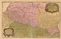
This image was acquired from
wikimedia. It was marked as Public Domain or CC0 and is free to use. To verify, go to the source and check the information there.
Looking for more info about this image?
Try a Google Reverse Image Search for it.
Try a Google Reverse Image Search for it.
Keywords from Image Description:
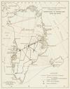
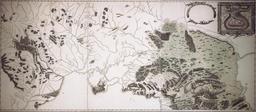
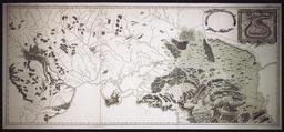
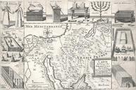
Carte des Pyrnes au XVIIeme sicle. Nicolas Sanson geograph of Louis XIII de France and Louis XIV de France Etablished between Treaty of the Pyrenees and death of the author publication was made after the death of the author The map show the border between France and Spain after the Treaty of Pyrenees one can see that Roussillon