Related Images
Download:
| Tiny | 97x128 | View | Download |
| Small | 195x256 | View | Download |
| Medium | 390x512 | View | Download |
| Large | 781x1024 | View | Download |
| Original tiff | 4576x5995 | View | Download |
| Original as jpg | 4576x5995 | View | Download |
This image was acquired from
wikimedia. It was marked as Public Domain or CC0 and is free to use. To verify, go to the source and check the information there.
Looking for more info about this image?
Try a Google Reverse Image Search for it.
Try a Google Reverse Image Search for it.
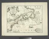
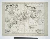
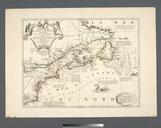
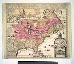
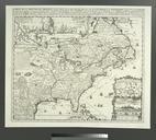
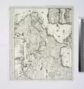
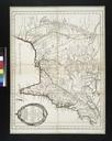
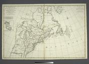
Keywords from Image Description:
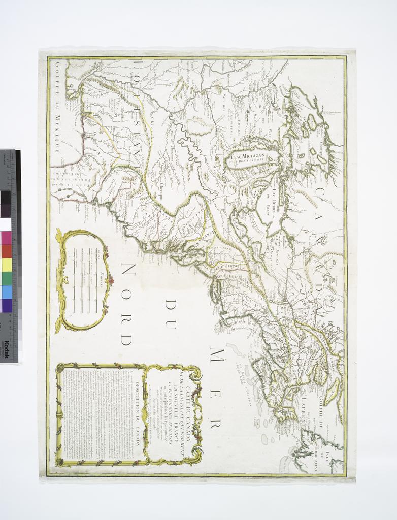
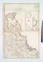
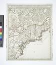
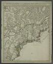
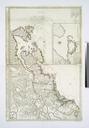
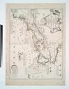
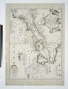
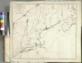
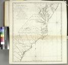
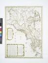
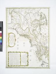
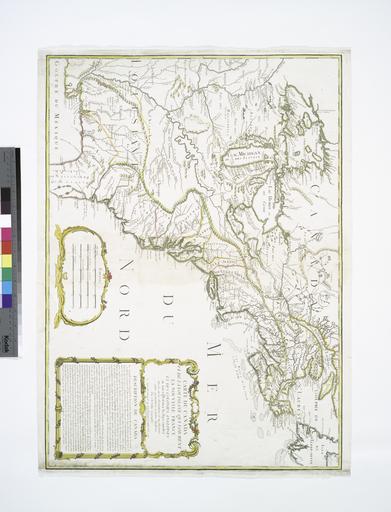
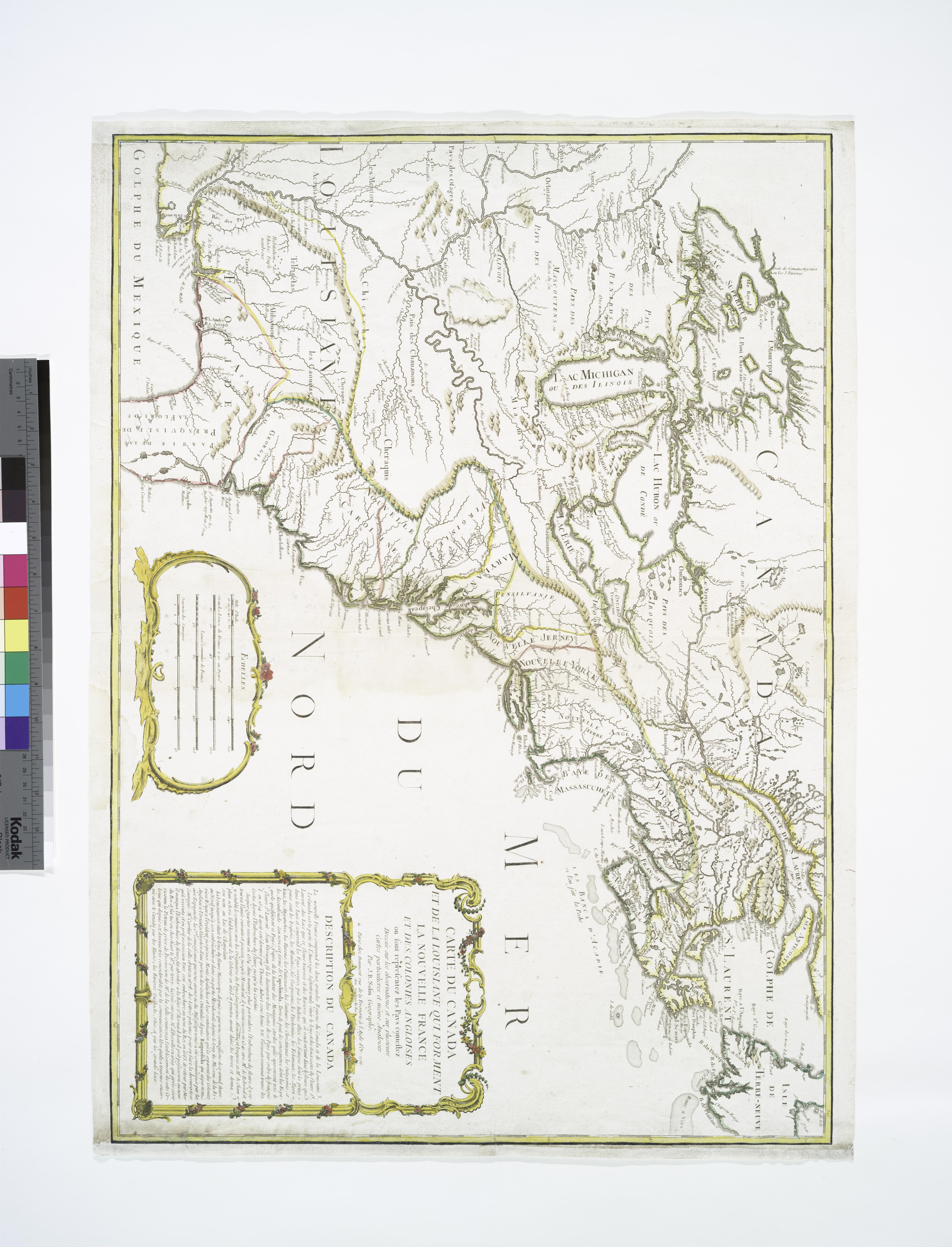
Carte du Canada et de la Louisiane qui forment la Nouvelle France et des colonies angloises ou sont representez les pays contestez dresse sur les observations et sur plusieurs cartes particulieres et NYPL b. en National Endowment for the Humanities Grant for Access to Early Maps of the Middle Atlantic Seaboard Relief shown pictorially