Related Images


Download:
| Tiny | 143x128 | View | Download |
| Small | 286x256 | View | Download |
| Medium | 572x512 | View | Download |
| Large | 1144x1024 | View | Download |
| Original tiff | 5944x5316 | View | Download |
| Original as jpg | 5944x5316 | View | Download |
This image was acquired from
wikimedia. It was marked as Public Domain or CC0 and is free to use. To verify, go to the source and check the information there.
Looking for more info about this image?
Try a Google Reverse Image Search for it.
Try a Google Reverse Image Search for it.
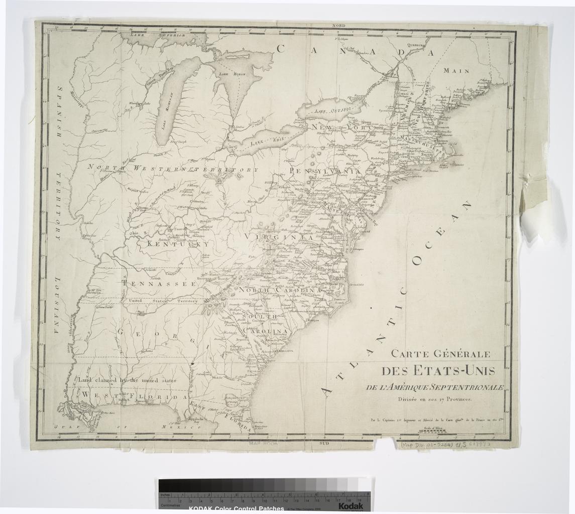
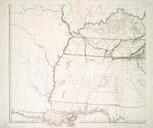
Keywords from Image Description:
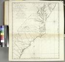
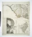
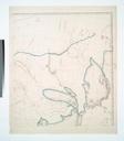
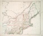
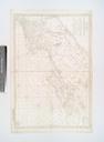
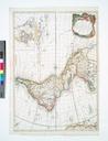
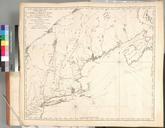
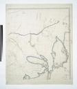
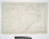
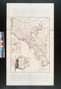
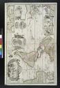
Carte gnerale des EtatsUnis de l'Amrique Septentrionale divise en ses provinces par L. Capitaine Ier. ingenieur et Associ de la Carte gen'le. de la France en fles. NYPL. NYPLmap Map Div Filed with Capitaine Louis ca ca map cm Maps of North America Countries United States except New York Whole Stephen Schwarzman Building