Related Images


Download:
| Tiny | 165x128 | View | Download |
| Small | 330x256 | View | Download |
| Medium | 660x512 | View | Download |
| Large | 1321x1024 | View | Download |
| Original | 5118x3967 | View | Download |
This image was acquired from
wikimedia. It was marked as Public Domain or CC0 and is free to use. To verify, go to the source and check the information there.
Looking for more info about this image?
Try a Google Reverse Image Search for it.
Try a Google Reverse Image Search for it.
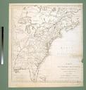
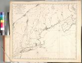
Keywords from Image Description:
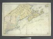
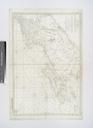
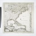
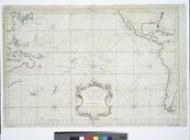
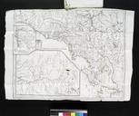
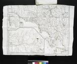
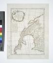
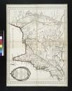
Carte rduite du Nord des EtatUnis avec l'intrieur du pays pour servir l'intelligence de cette histoire NYPL b. en Copy in KF Myers Collection Copy in Map Div in Lawrence Slaughter Collection Inserted frontispiece Lawrence Slaughter Collection National Endowment for the Humanities Grant for Access to Early Maps of the Middle Atlantic