Related Images


Download:
| Tiny | 94x128 | View | Download |
| Small | 189x256 | View | Download |
| Medium | 379x512 | View | Download |
| Large | 759x1024 | View | Download |
| Original tiff | 4672x6299 | View | Download |
| Original as jpg | 4672x6299 | View | Download |
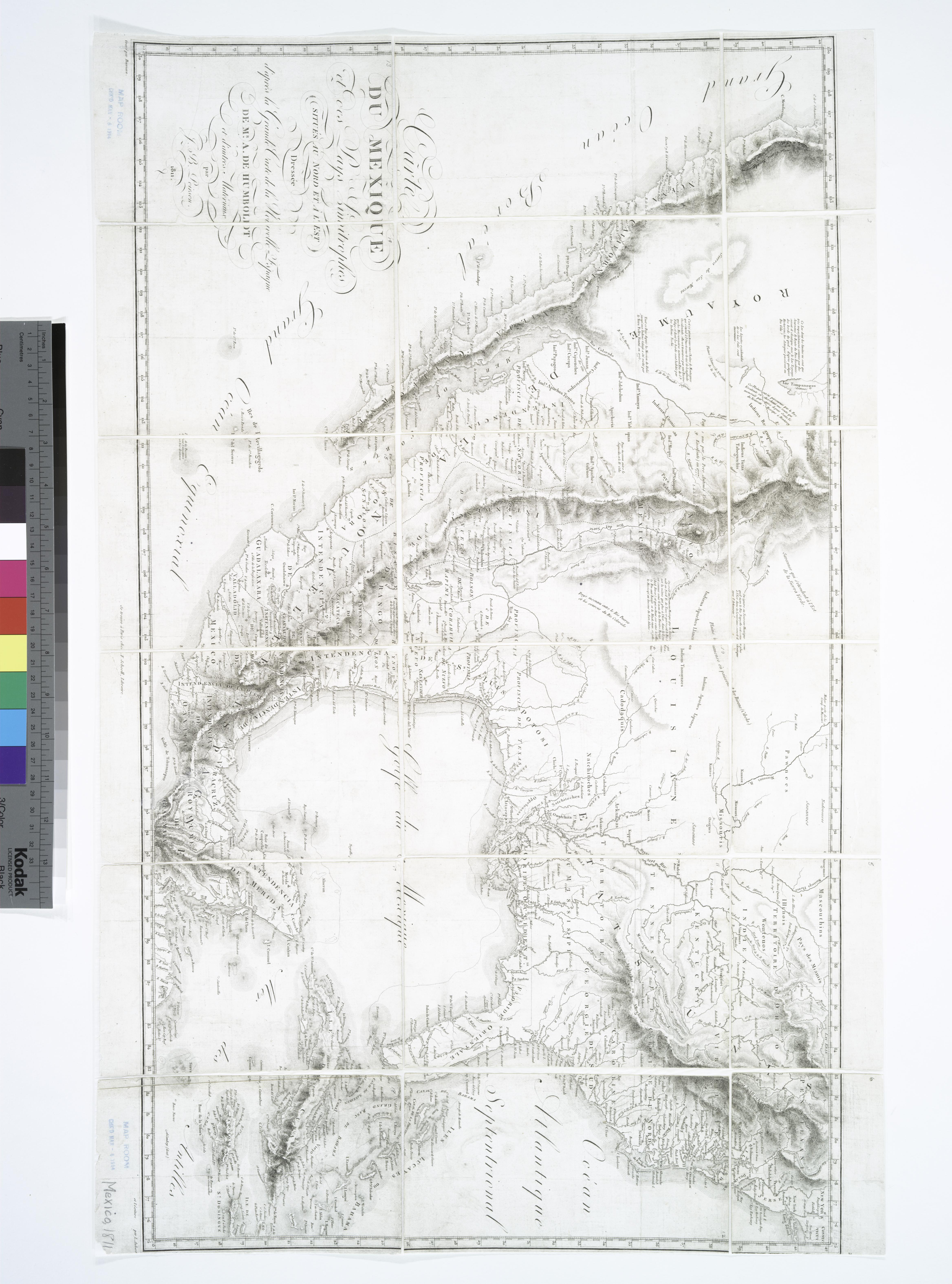
This image was acquired from
wikimedia. It was marked as Public Domain or CC0 and is free to use. To verify, go to the source and check the information there.
Looking for more info about this image?
Try a Google Reverse Image Search for it.
Try a Google Reverse Image Search for it.
Keywords from Image Description:
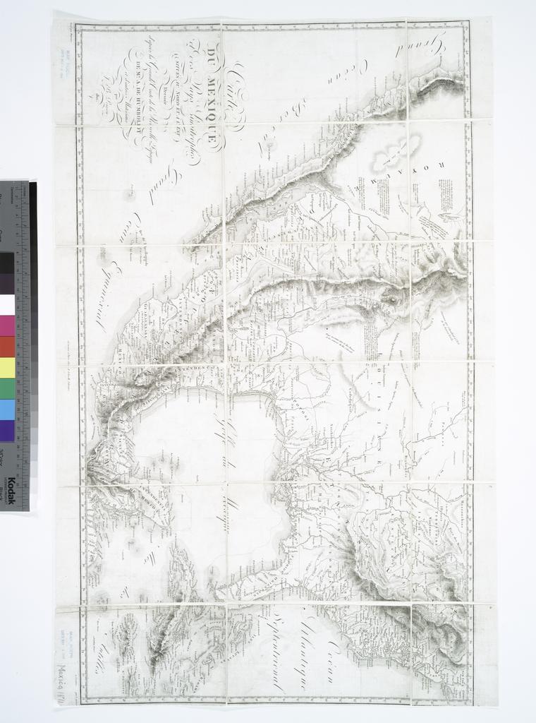
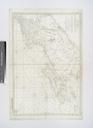
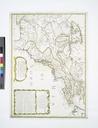
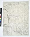
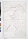
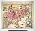
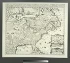
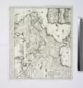
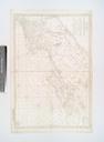
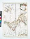
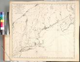
Carte du Mexique et des pays limitrophes situs au nord et l'est dresse d'aprs la grande carte de la Nouvelle Espagne de Mr. A. de Humboldt et d'autres matriaux NYPL b. en Appears in Humboldt's Atlas ghographique et physique NouvelleEspagne cf Phillips no Covers the as far north as southwestern Conn and Cape Sebastian Or National