
Related Images

Download:
| Tiny | 102x128 | View | Download |
| Small | 205x256 | View | Download |
| Medium | 411x512 | View | Download |
| Large | 822x1024 | View | Download |
| Original | 5772x7182 | View | Download |
This image was acquired from
wikimedia. It was marked as Public Domain or CC0 and is free to use. To verify, go to the source and check the information there.
Looking for more info about this image?
Try a Google Reverse Image Search for it.
Try a Google Reverse Image Search for it.
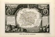
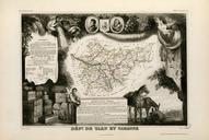
Keywords from Image Description:
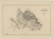
Carte topographique de la ville de Lyon et du canton de Villeurbanne. fr Archives municipales de Lyon fondsenligne archiveslyon fr php PHPSID bdefaabadceed param visu page Rembielinski ingnieur gographe et graveur other versions PDold Old maps of Lyon Lyon in the th century