Related Images

Download:
| Tiny | 175x128 | View | Download |
| Small | 350x256 | View | Download |
| Medium | 701x512 | View | Download |
| Large | 1403x1024 | View | Download |
| Original | 8826x6438 | View | Download |
This image was acquired from
wikimedia. It was marked as Public Domain or CC0 and is free to use. To verify, go to the source and check the information there.
Looking for more info about this image?
Try a Google Reverse Image Search for it.
Try a Google Reverse Image Search for it.
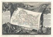
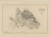
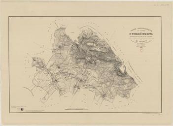
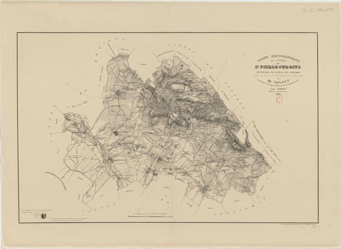
Keywords from Image Description:
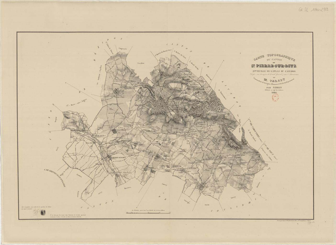
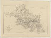
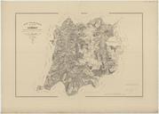
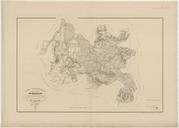
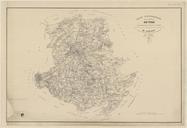
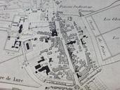
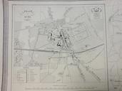
Carte topographique du canton de SaintPierresurDives . fr Carte topographique du canton de SaintPierresurDives btvb Simon Rembielinski other versions PDold Uploaded with Old maps of Calvados maps SaintPierresurDives Boissey Calvados BrettevillesurDives Hiville Mittois Montviette OuvillelaBienTourne SaintGeorgesenAuge SainteMargueritedeViette