Related Images


Download:
| Tiny | 160x128 | View | Download |
| Small | 320x256 | View | Download |
| Medium | 641x512 | View | Download |
| Large | 1282x1024 | View | Download |
| Original | 8656x6912 | View | Download |
This image was acquired from
wikimedia. It was marked as Public Domain or CC0 and is free to use. To verify, go to the source and check the information there.
Looking for more info about this image?
Try a Google Reverse Image Search for it.
Try a Google Reverse Image Search for it.
Keywords from Image Description:
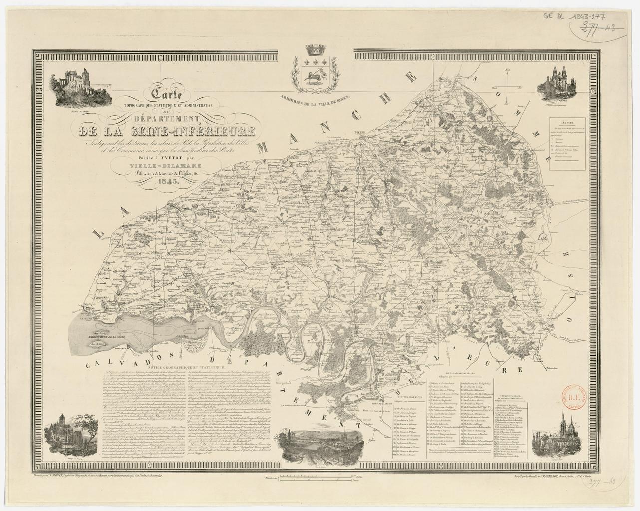
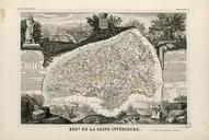
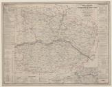
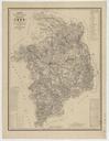
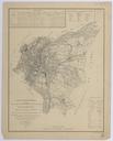
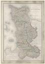
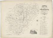
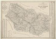
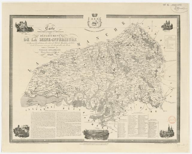
Carte topographique statistique et administrative du dpartement de la SeineInfrieure. fr Carte topographique statistique et administrative du dpartement de la SeineInfrieure btvbs Charles Monin other versions PDold Uploaded with Old maps of SeineMaritime Charles Monin maps