
Related Images


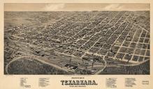
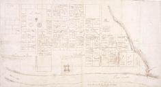

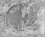
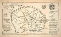
Download:
| Tiny | 227x128 | View | Download |
| Small | 455x256 | View | Download |
| Medium | 910x512 | View | Download |
| Original | 1280x720 | View | Download |
This image was acquired from
wikimedia. It was marked as Public Domain or CC0 and is free to use. To verify, go to the source and check the information there.
Looking for more info about this image?
Try a Google Reverse Image Search for it.
Try a Google Reverse Image Search for it.
Keywords from Image Description:
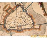
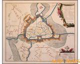
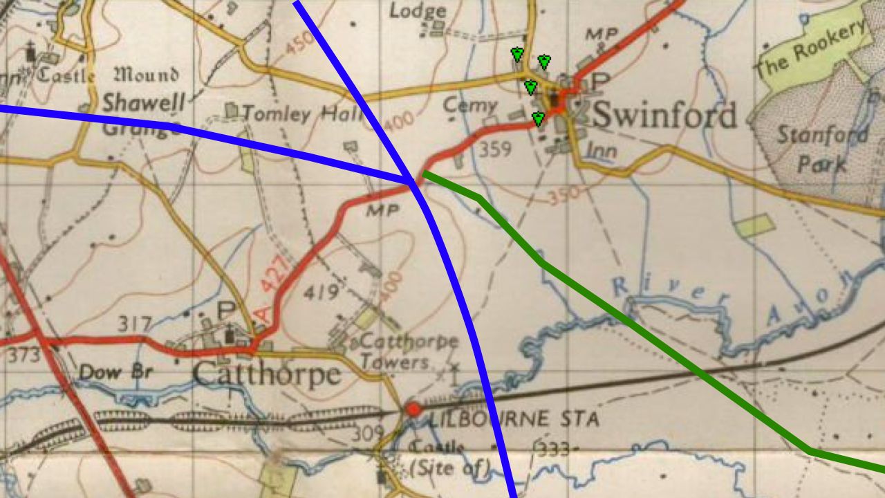
Catthorpe map old. map of the location of the Catthorpe Interchange showing the route of the road New Popular Edition map from npemap org uk npemap Ordnance Survey PDold Original upload log en Kafuffle CommonsHelper page en Catthorpemapold PeterEastern bytes no map of the area New Popular Edition map Ordnance Survey Catthorpe