Related Images


Download:
| Tiny | 131x128 | View | Download |
| Small | 262x256 | View | Download |
| Medium | 525x512 | View | Download |
| Original png | 578x563 | View | Download |
| Original as jpg | 578x563 | View | Download |
This image was acquired from
wikimedia. It was marked as Public Domain or CC0 and is free to use. To verify, go to the source and check the information there.
Looking for more info about this image?
Try a Google Reverse Image Search for it.
Try a Google Reverse Image Search for it.
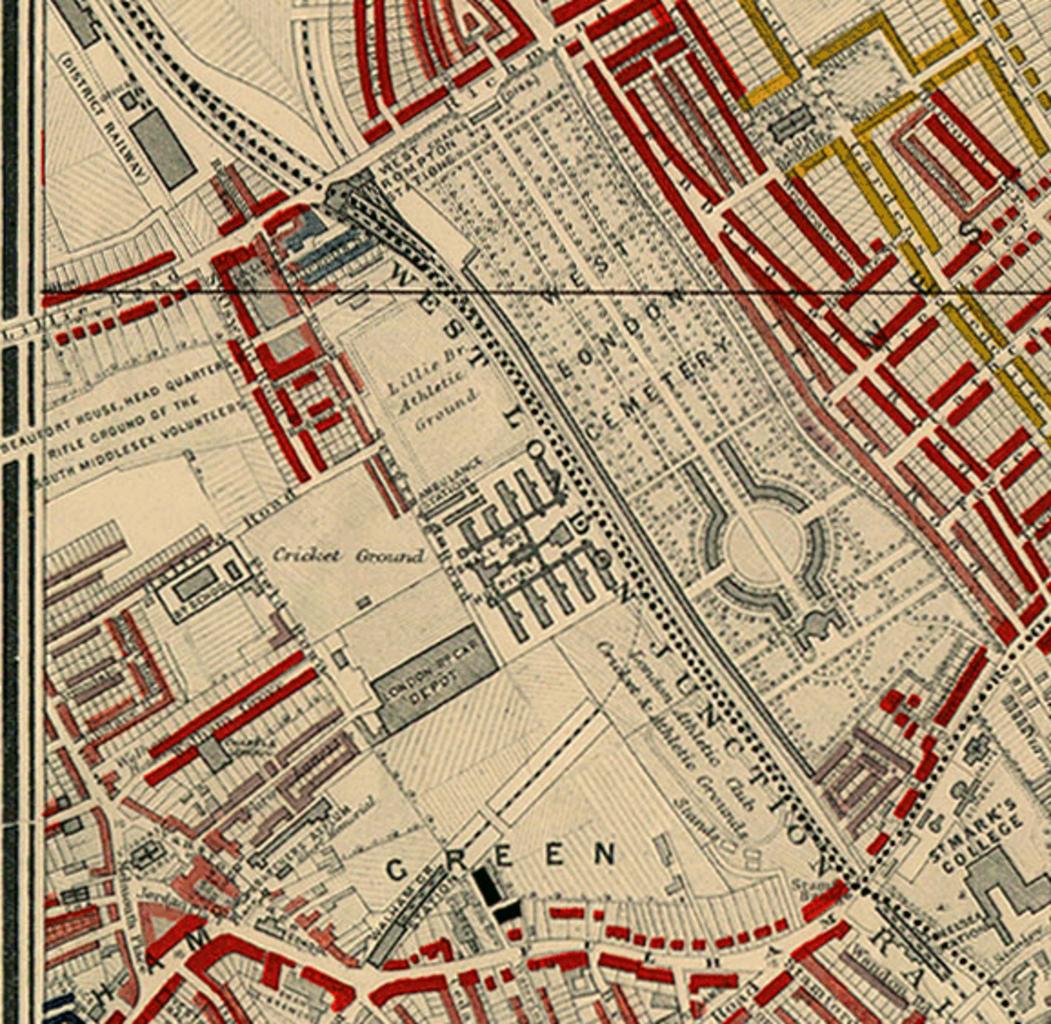
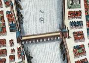
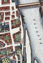
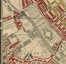
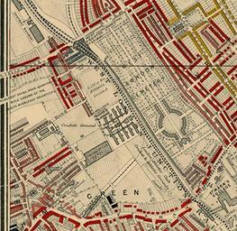
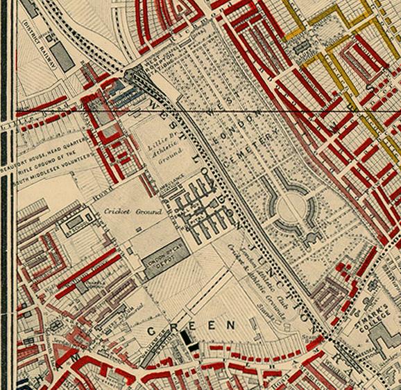
Keywords from Image Description:
Charles Booth map detail showing Lillie Bridge. en Detail showing Lillie Bridge from Charles Booth's descriptive map of London poverty Houses marked in red were Middleclass Well to do Those in gold were Uppermiddle and Upper classes Wealthy These were the highest two of Booth's seven classifications umich edu html Creator Charles