Related Images


Download:
| Tiny | 48x128 | View | Download |
| Small | 96x256 | View | Download |
| Medium | 193x512 | View | Download |
| Large | 387x1024 | View | Download |
| Original | 2740x7248 | View | Download |
This image was acquired from
wikimedia. It was marked as Public Domain or CC0 and is free to use. To verify, go to the source and check the information there.
Looking for more info about this image?
Try a Google Reverse Image Search for it.
Try a Google Reverse Image Search for it.
Keywords from Image Description:
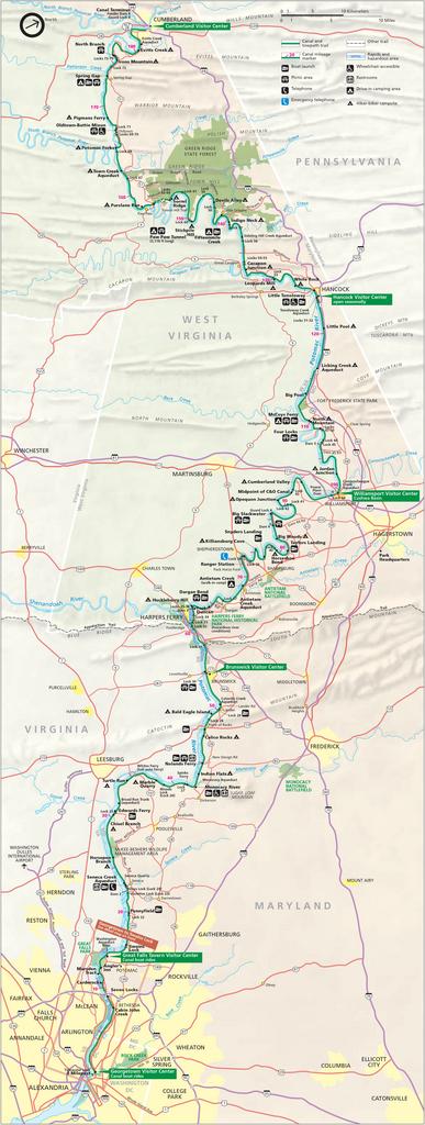
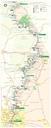
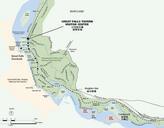
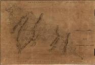
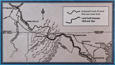
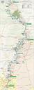
Chesapeake and Ohio Canal National Historical Park map. ChesapeakeandOhioCanalNationalHistoricalPark map svg Map of the Chesapeake and Ohio Canal National Historical Park along the former Chesapeake and Ohio Canal between Cumberland Maryland and Washington USA United States National Park Service website for Chesapeake and Ohio Canal