Related Images

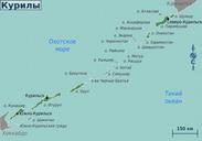
Download:
| Tiny | 175x128 | View | Download |
| Small | 351x256 | View | Download |
| Medium | 702x512 | View | Download |
| Original | 1240x904 | View | Download |
This image was acquired from
wikimedia. It was marked as Public Domain or CC0 and is free to use. To verify, go to the source and check the information there.
Looking for more info about this image?
Try a Google Reverse Image Search for it.
Try a Google Reverse Image Search for it.
Keywords from Image Description:
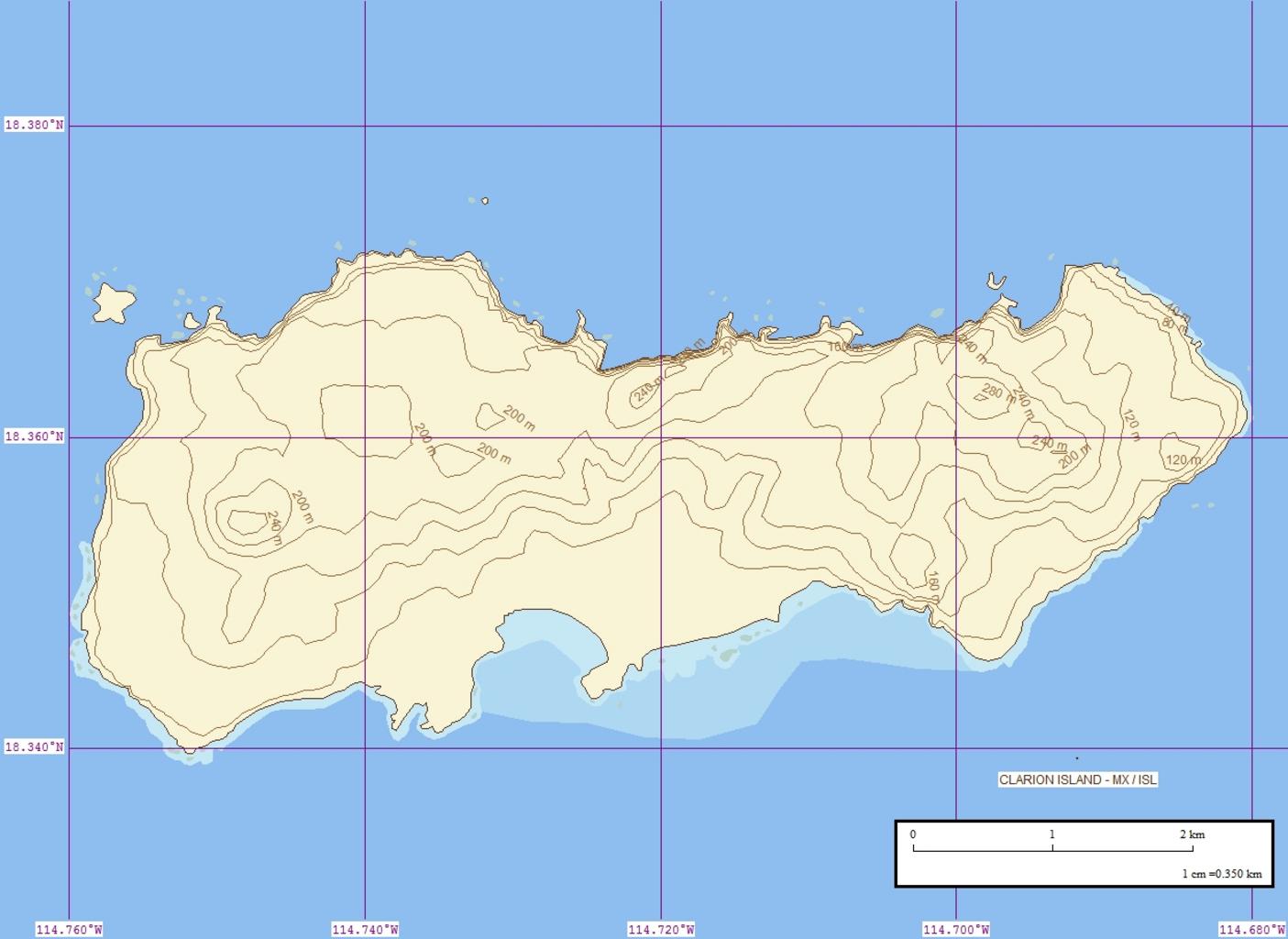
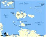
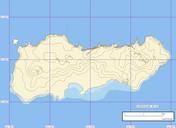
Clarion Island Map Finished . Topographische Karte der Insel Clarion RevillagigedoInseln Mexiko EVS Precision Island Map of Clarion Island Revillagigedo Islands Mexico own using Marplot Mapping Software Peter Minton Peter Minton Original upload log date username dimension file size edit summary February Pjminton KB no Map