Related Images


Download:
| Tiny | 118x128 | View | Download |
| Small | 237x256 | View | Download |
| Medium | 475x512 | View | Download |
| Large | 950x1024 | View | Download |
| Original | 2306x2485 | View | Download |
This image was acquired from
wikimedia. It was marked as Public Domain or CC0 and is free to use. To verify, go to the source and check the information there.
Looking for more info about this image?
Try a Google Reverse Image Search for it.
Try a Google Reverse Image Search for it.
Keywords from Image Description:
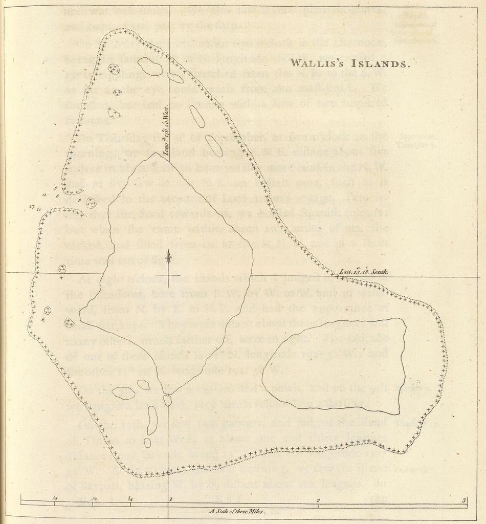
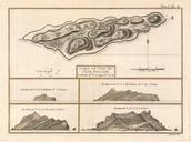
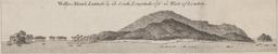
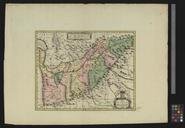
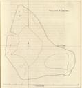
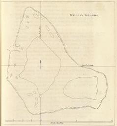
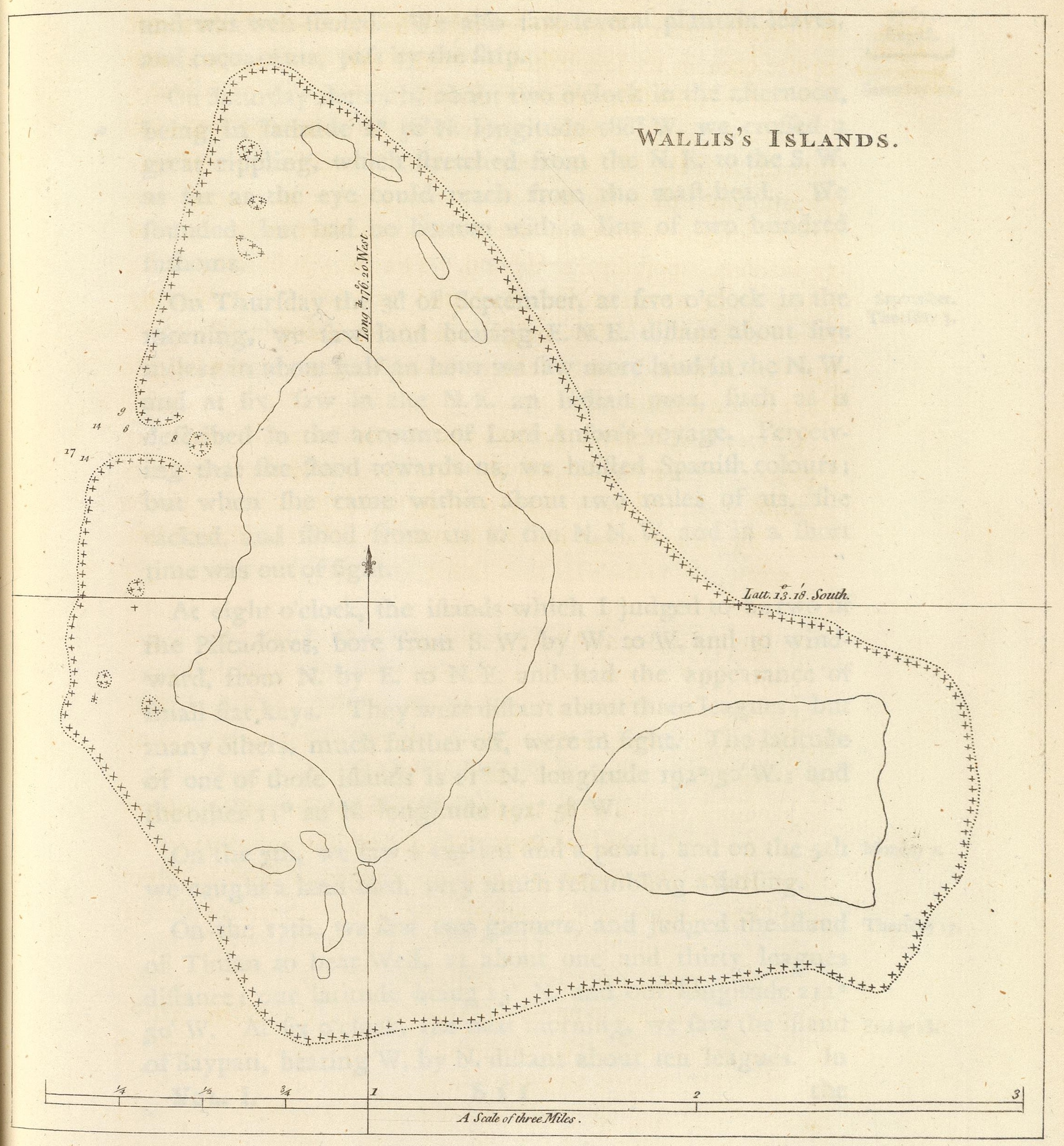
Wallis's islands map . en Map of Wallis islands drawn by Samuel Wallis in Wallis visited Uvea in and named it Wallis island The map is really inaccurate compare with File Wallis topographicfr svg It may be the first map of Wallis island This map is from the book An account of the voyages undertaken by the order of His present Majesty