
Related Images


Download:
| Tiny | 176x128 | View | Download |
| Small | 353x256 | View | Download |
| Medium | 707x512 | View | Download |
| Large | 1415x1024 | View | Download |
| Original svg | 3117x2255 | View | Download |
| Original as jpg | 3117x2255 | View | Download |
This image was acquired from
wikimedia. It was marked as Public Domain or CC0 and is free to use. To verify, go to the source and check the information there.
Looking for more info about this image?
Try a Google Reverse Image Search for it.
Try a Google Reverse Image Search for it.
Keywords from Image Description:
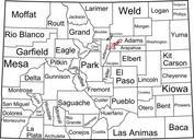
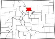
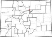
Colorado counties until November .svg thumb right Compare to the current map This is map of Colorado counties as they appeared until November when Broomfield County was created from portions of Adams Boulder Jefferson and Weld counties David Benbennick made this map used the gov nationalatlas gov County Boundaries data set specifically