
Related Images


Download:
| Tiny | 176x128 | View | Download |
| Small | 352x256 | View | Download |
| Medium | 705x512 | View | Download |
| Original svg | 828x601 | View | Download |
| Original as jpg | 828x601 | View | Download |
This image was acquired from
wikimedia. It was marked as Public Domain or CC0 and is free to use. To verify, go to the source and check the information there.
Looking for more info about this image?
Try a Google Reverse Image Search for it.
Try a Google Reverse Image Search for it.
Keywords from Image Description:
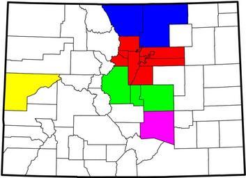
Colorado MPOs.svg county map of the five Metropolitan Planning Organizations in the State of Colorado Derived from the National Atlas of the United States as converted by David Benbennick CC and adapted by Buaidh Buaidh ccby File MapofColoradocounties blank svg Maps of Colorado SVG maps of Colorado