
Related Images


Download:
| Tiny | 106x128 | View | Download |
| Small | 213x256 | View | Download |
| Medium | 427x512 | View | Download |
| Large | 855x1024 | View | Download |
| Original | 1275x1526 | View | Download |
This image was acquired from
wikimedia. It was marked as Public Domain or CC0 and is free to use. To verify, go to the source and check the information there.
Looking for more info about this image?
Try a Google Reverse Image Search for it.
Try a Google Reverse Image Search for it.
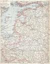
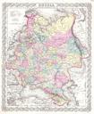
Keywords from Image Description:
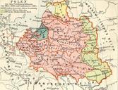
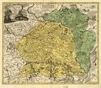
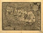
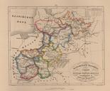
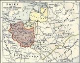
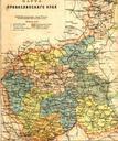
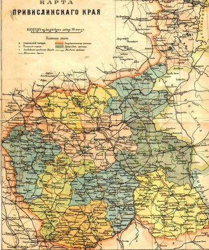
Congress Poland map th century. Russian map of Vistula land Privislinsky Krai former Congress Poland approx second half of the th century The scale of the map is versts per English inch Left column of the legend Governoratelevel town Uyezd district level town Nonuyezd towns those which had town status but did not serve as uyezd