Related Images


Download:
| Tiny | 160x128 | View | Download |
| Small | 320x256 | View | Download |
| Medium | 640x512 | View | Download |
| Large | 1280x1024 | View | Download |
| Original | 4000x3199 | View | Download |
This image was acquired from
wikimedia. It was marked as Public Domain or CC0 and is free to use. To verify, go to the source and check the information there.
Looking for more info about this image?
Try a Google Reverse Image Search for it.
Try a Google Reverse Image Search for it.
Keywords from Image Description:
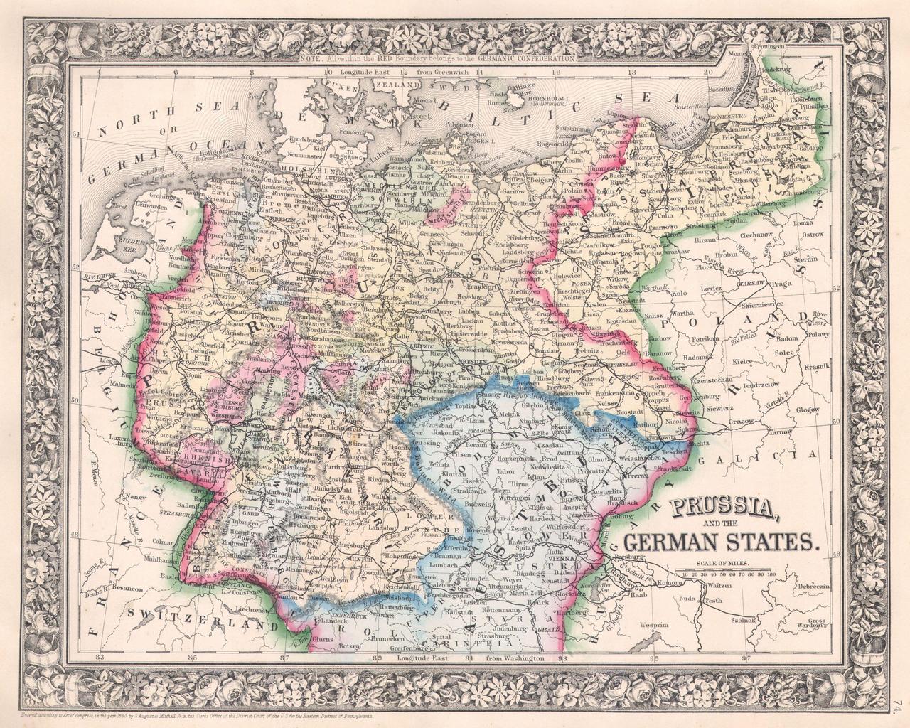
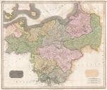
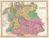
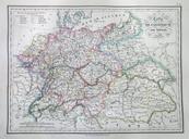
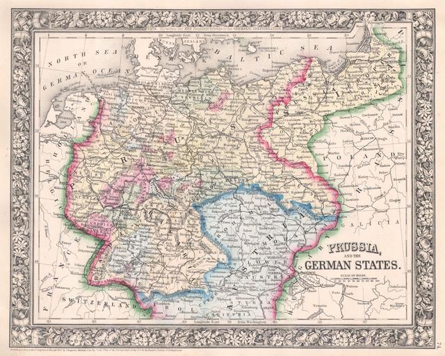
Mitchell Map of Prussia and Germany Geographicus Prussiamitchell. beautiful example of Mitchell Jr map of Prussia and Germany Depicts the German states from the border with Holland and Belgium eastward as far as Poland and Russia Extends south into Austria and Bohemia the modern day Czech Republic Defines the Germany along the