
Related Images


Download:
| Tiny | 104x128 | View | Download |
| Small | 208x256 | View | Download |
| Medium | 417x512 | View | Download |
| Large | 835x1024 | View | Download |
| Original tiff | 4732x5800 | View | Download |
| Original as jpg | 4732x5800 | View | Download |
This image was acquired from
wikimedia. It was marked as Public Domain or CC0 and is free to use. To verify, go to the source and check the information there.
Looking for more info about this image?
Try a Google Reverse Image Search for it.
Try a Google Reverse Image Search for it.
Keywords from Image Description:
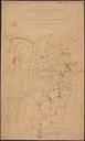
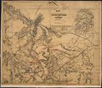
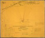
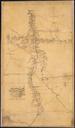
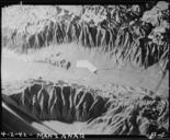
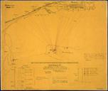
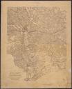
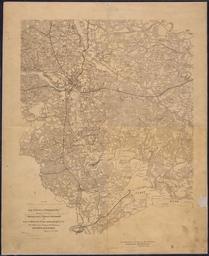
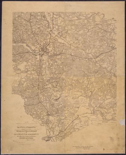
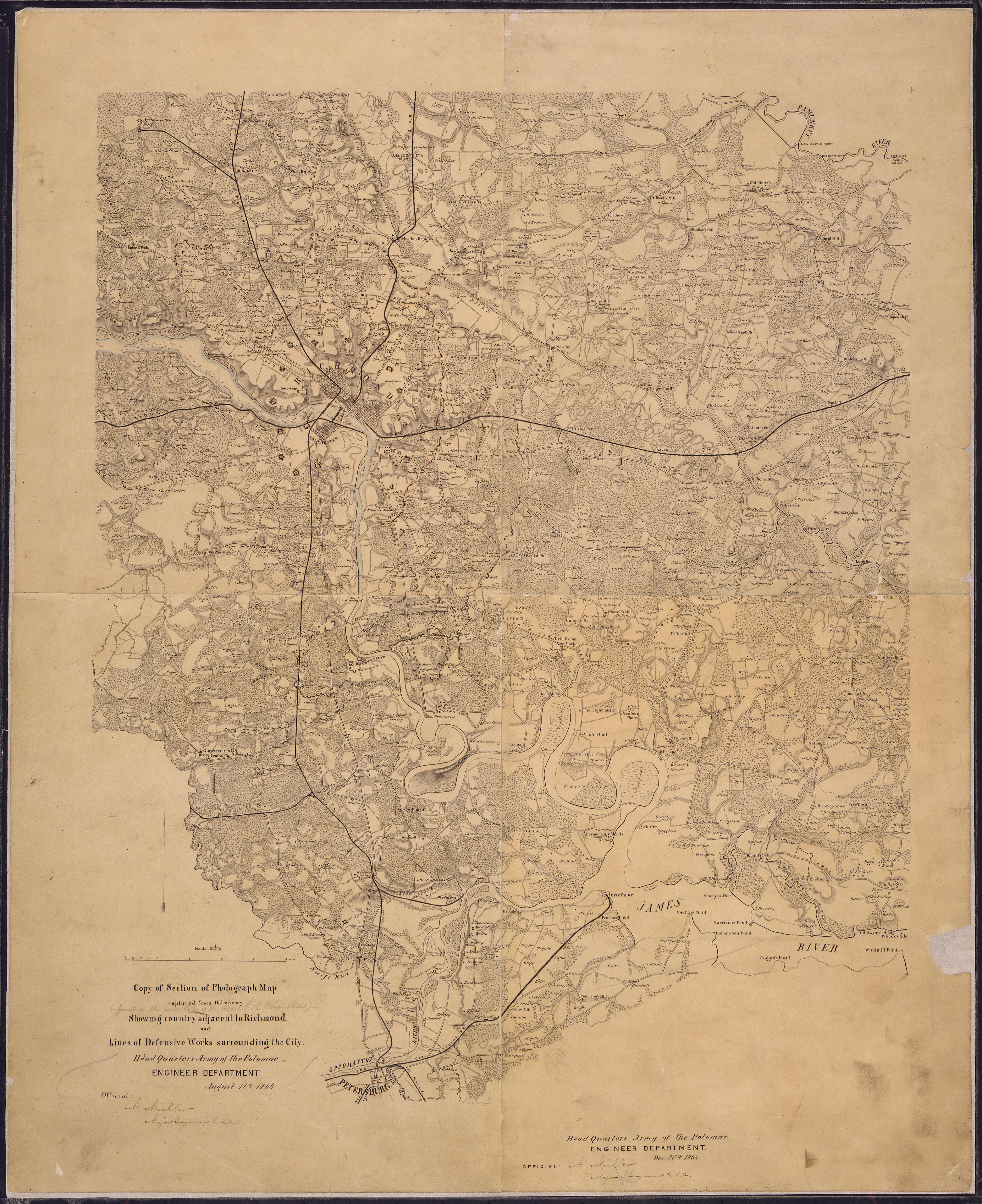
Copy of Section of Photograph Map captured from the enemy Showing country adjacent to Richmond and Lines of Defensive... NARA .tif Scope and content General notes Local identifier CWMFG War Department Office of the Chief of Engineers Cartographic and Architectural Records Section Special Media Archives Services Division NWCSC