Related Images


This image was acquired from
wikimedia. It was marked as Public Domain or CC0 and is free to use. To verify, go to the source and check the information there.
Looking for more info about this image?
Try a Google Reverse Image Search for it.
Try a Google Reverse Image Search for it.
Keywords from Image Description:
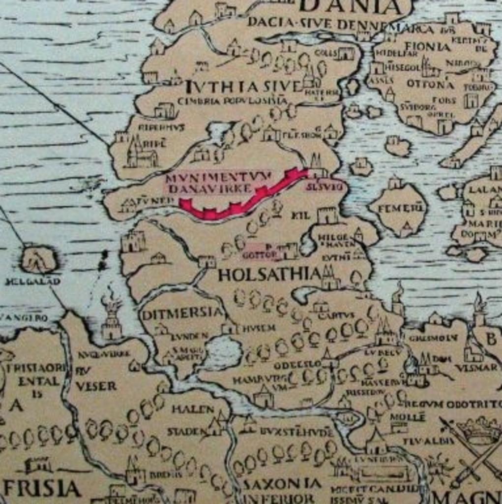
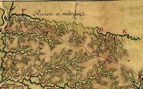
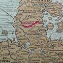
DanewerkDetailmap. Detail from the quoted map demonstrating the water body south of the Danevirke Image Map danavirki User Ulamm the Source is PD the source Old maps of Denmark