
Related Images

Download:
| Tiny | 143x128 | View | Download |
| Small | 287x256 | View | Download |
| Medium | 575x512 | View | Download |
| Large | 1150x1024 | View | Download |
| Original | 3856x3433 | View | Download |
This image was acquired from
wikimedia. It was marked as Public Domain or CC0 and is free to use. To verify, go to the source and check the information there.
Looking for more info about this image?
Try a Google Reverse Image Search for it.
Try a Google Reverse Image Search for it.
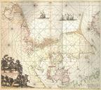
Keywords from Image Description:
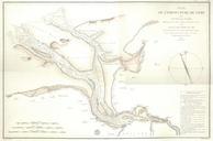
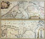
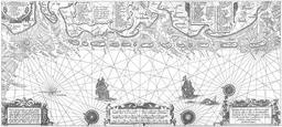
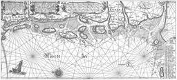
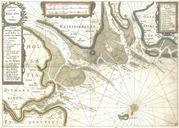
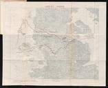
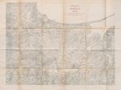
De Nordseekste Karten . Daniae Frisiae Groningae et Orientalis Frisiae Littora scan from copy of the original cm cm Seeatlas Orbis maritimus ofte Zee Atlas von Frederick de Wit Amsterdam Creator Frederick de Wit PDold DeNordseekste Karten De book leaflet Joergens mi Old maps of Denmark Repro