Related Images


Download:
| Tiny | 162x128 | View | Download |
| Small | 325x256 | View | Download |
| Medium | 651x512 | View | Download |
| Large | 1302x1024 | View | Download |
| Original | 1583x1245 | View | Download |
This image was acquired from
wikimedia. It was marked as Public Domain or CC0 and is free to use. To verify, go to the source and check the information there.
Looking for more info about this image?
Try a Google Reverse Image Search for it.
Try a Google Reverse Image Search for it.
Keywords from Image Description:
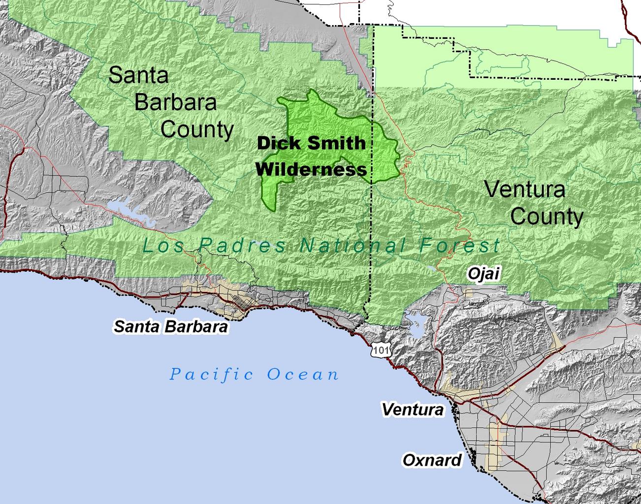
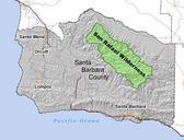
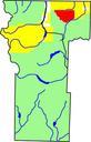
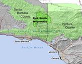
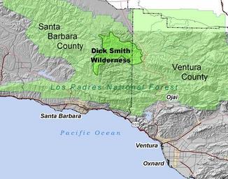
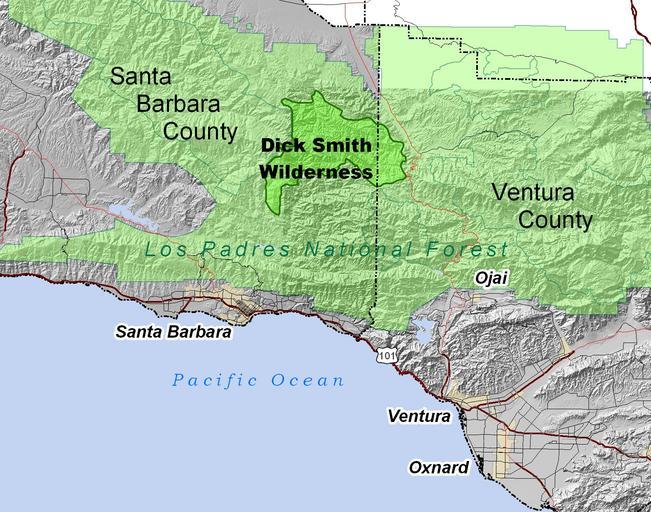
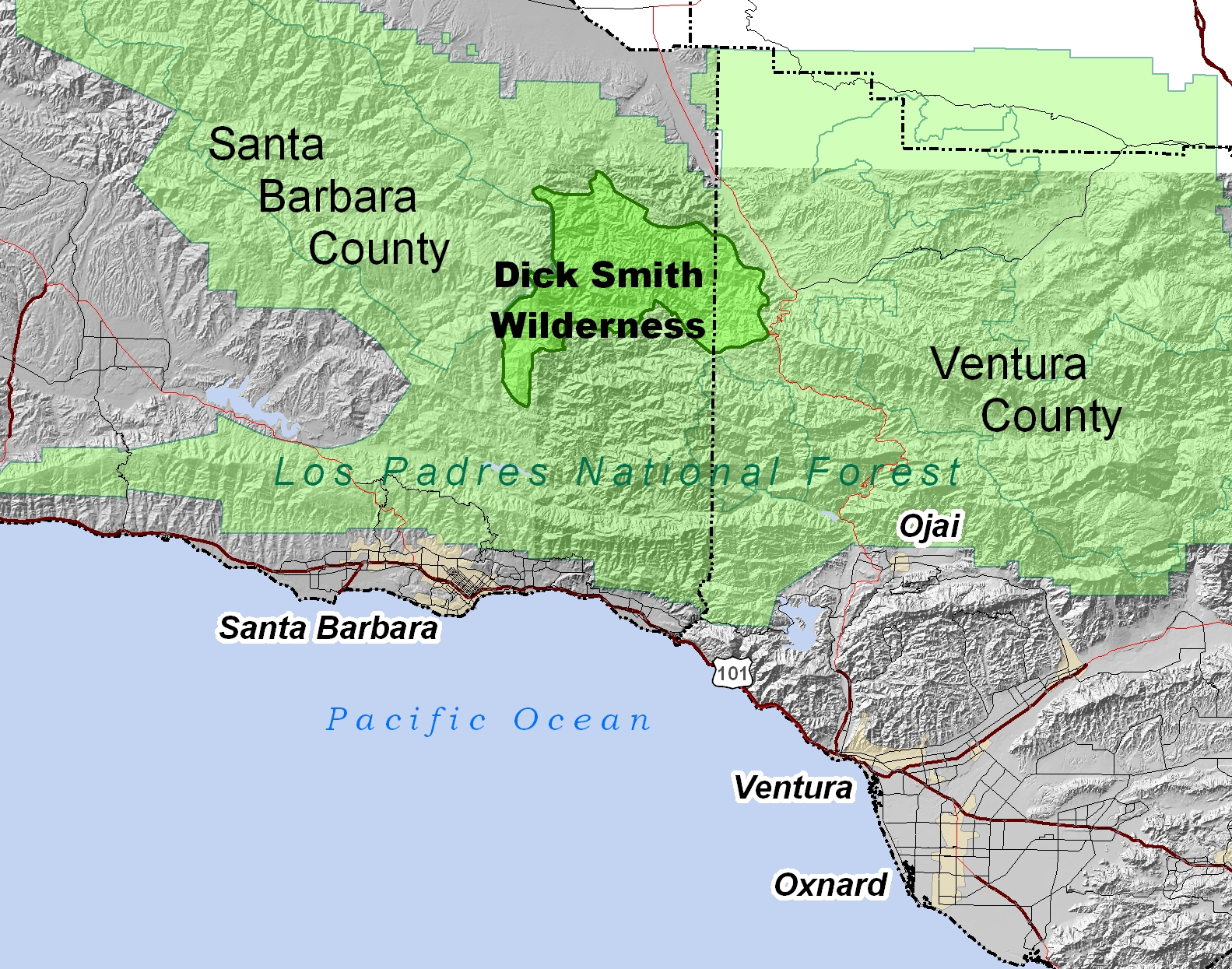
DickSmithWildernessLocMap. Location map for the Dick Smith Wilderness in the Los Padres National Forest Southern California Located in the mountains of eastern Santa Barbara County with portion in Ventura County All data included on this map is in public domain created by User Antandrus using ArcGIS Map projection California State