Related Images

Download:
| Tiny | 168x128 | View | Download |
| Small | 336x256 | View | Download |
| Medium | 672x512 | View | Download |
| Large | 1344x1024 | View | Download |
| Original | 1688x1286 | View | Download |
This image was acquired from
wikimedia. It was marked as Public Domain or CC0 and is free to use. To verify, go to the source and check the information there.
Looking for more info about this image?
Try a Google Reverse Image Search for it.
Try a Google Reverse Image Search for it.
Keywords from Image Description:
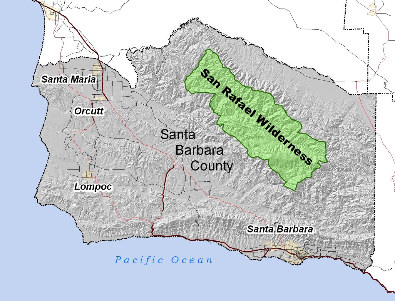
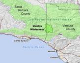
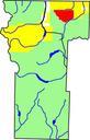
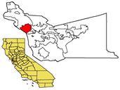
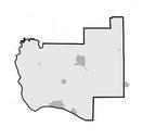
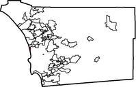
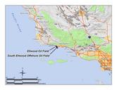
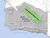
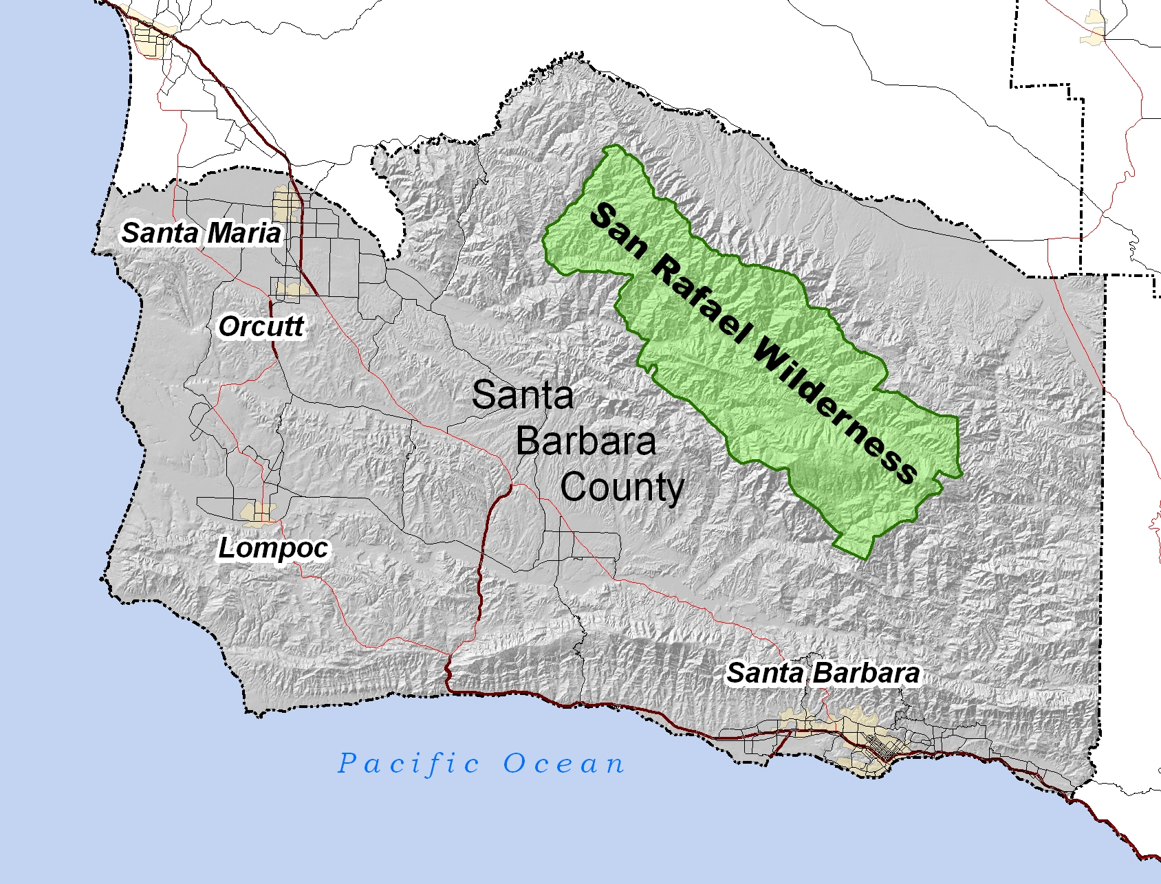
SanRafaelWildernessLocMap. Location of San Rafael Wilderness in SB County Made by User Antandrus all data shown on this map is in public domain Made using ArcGIS Map projection California State Plane Zone NAD en Quadell CommonsHelper Antandrus en Antandrus Original upload log page en SanRafaelWildernessLocMap Antandrus