Related Images


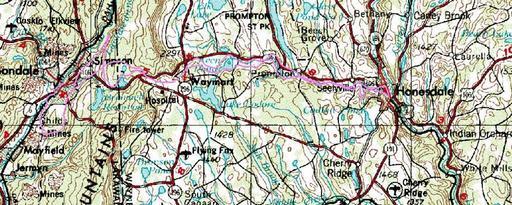
This image was acquired from
wikimedia. It was marked as Public Domain or CC0 and is free to use. To verify, go to the source and check the information there.
Looking for more info about this image?
Try a Google Reverse Image Search for it.
Try a Google Reverse Image Search for it.
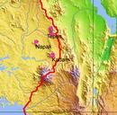
Keywords from Image Description:
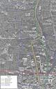
DnHgravity.pa.track. This map was made from data traced from public domain aerial photos and topographic maps and is drawn over public domain topographic map en RussNelson en RussNelson Original upload log en DnHgravity pa track bytes RussNelson no map was made from data traced from public domain aerial photos and topographic